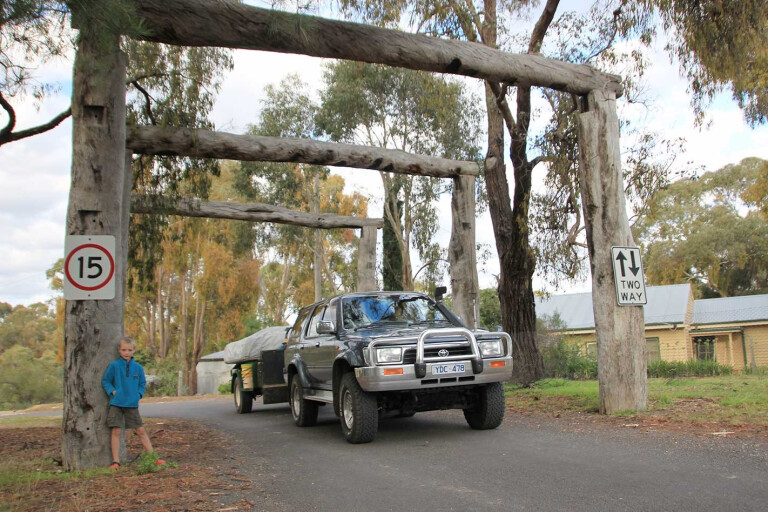
Just near the Loddon River, in the heart of the Victorian goldfields, the Vaughan Springs camping area is surrounded by rolling green hills and a vast network of walking tracks. The huge slide is an
all-time favourite with kids and adults, and free camping makes it a great place for budget-conscious travellers.
This feature was originally published in 4x4 Australia’s November 2012 issue
Vaughan Springs is part of the Castlemaine Diggings National Heritage Park, the largest non-indigenous protected cultural landscape in Australia. Added to the National Heritage List in 2005, it has outstanding value and importance in Australian history. The park is home to mineral springs and is a wonderful spot to discover gold relics.
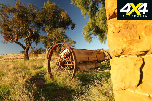 Gold miner Jim Paull discovered the mineral springs in 1909 while clearing debris from a flooded sluicing plant. In those days it was a large township, called The Junction, popular with Chinese miners and market gardeners. Today, the strong Chinese presence is evidenced by the Chinese burial ground at the entrance to the park.
Gold was discovered here in July 1851. More than 20,000 people flocked to the area, but by 1852, the population had swollen to 40,000. For a period of three years, Castlemaine basked in glory as the world’s richest shallow alluvial goldfield, though the process turned once beautiful forested areas into barren wasteland.
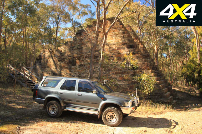
A daytrip to Castlemaine via Vaughan-Chewton Road is a great way of visiting some of the historical sites. As you leave the camping area, turn right and follow the sealed road. On your left you will see the remains of the Duke of Cornwall engine house, erected in 1869 and is a prominent reminder of the mining activities that once took place.
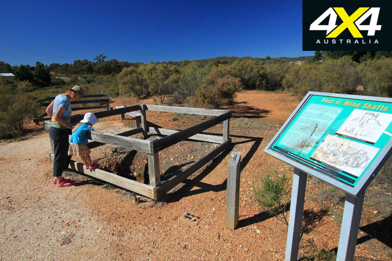
Continuing the drive, you pass through Irishtown and Fryerstown. Turn left when you spot the sign for the Wattle Gully Gold Mine. A short walk leads to a small area with an information sign. In the 1930s, the mine became Victoria’s premier producing mine for about 30 years, yielding 341,047 ounces of gold.
From here, the township of Chewton is a couple of kilometres down the road. Cross the Pyrenees Highway and follow the signs to the Garfield Waterwheel. The 22m diameter waterwheel, the largest in Victoria, was completed in 1887 and provided power to the stamp battery for extracting gold from ore produced by the Garfield Mine until 1903.
It had 220 wrought-iron buckets and a revolution took 45-55 seconds, driving a 15-head battery from 70-86 falls per minute.
Returning to the Pyrenees Highway, turn right and head toward Castlemaine. The Forest Creek Gold Diggings are on your left and there is a large parking area. Once called ‘the bank till free to all’, this goldfield yielded great profits, with miners finding as many as 1000 ounces of gold, worth $500,000 at today’s prices.
Ten informative signs guide you through the area along Forest Creek and provide insight into the miners’ ingenuity, as well as the destructive consequences of their activities. One method, called hydraulic sluicing, involved directing a jet of water at the cliff face until it became saturated and collapsed.
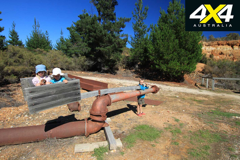
The water cannon pumped out about 10,000 litres of water a minute at tremendous pressure. It had a box of stones on the back that acted as a counterbalance to prevent the nozzle from bouncing around and injuring its operator.
Another short trip brings you into Castlemaine. The city centre is filled with heritage-listed buildings, mostly in Georgian style. It is a friendly town where people still greet you in the street.
In the 1800s, gold attracted miners to the region, hoping to strike it rich. These days, this National Heritage Park (Australia’s first) entices visitors to explore this beautiful area in the heart of the Victorian goldfields.
Travel Planner
GETTING THERE
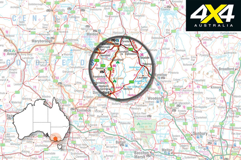
Vaughan Springs is 120km north of Melbourne and 10km south of Castlemaine.
CAMPING
The camping area has toilets, cold showers and a tap with creek water. No fees apply.
SUPPLIES
Fuel and groceries are available in the township of Castlemaine.
MAPS AND GUIDES
Castlemaine Diggings National Heritage Park Visitor Guide. Contact the Castlemaine visitors centre on 1800 171 888 or visit www.maldoncastlemaine.com.au. Alternatively, call Parks Victoria on 13 19 63 or visit www.parkweb.vic.gov.au.
A 4x4 trip to Vaughan Springs is a trip into the rich history of Victoria’s gold mining exploits – Whichcar is the online home of 4x4 Australia magazine.

COMMENTS