News

Gallery 1
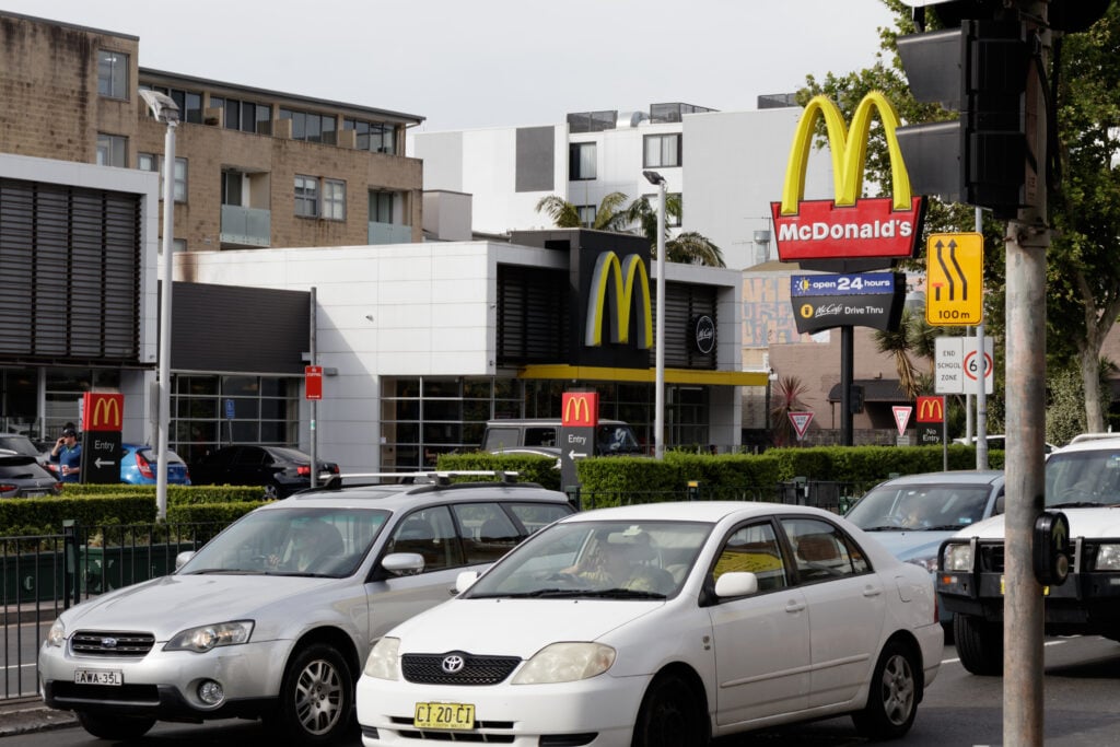
As holiday makers begin their journey home across Australia’s road network, a new report has identified the 10 most dangerous stretches of highway in the country.
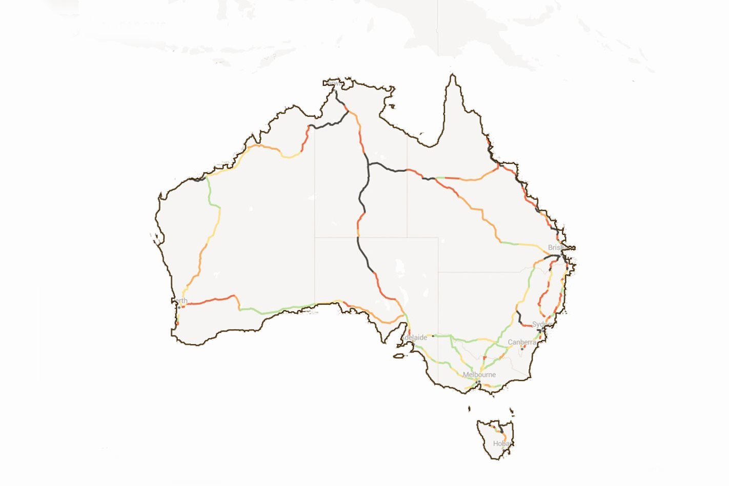
The research, conducted by the Australian Automobile Association, looks at which roads pose the most risk based on traffic volume and the number of crashes resulting in injury and death between 2010 and 2014.
The survey is confined to stretches of road within the National Land Transport Network with speed limits above 90km/h.
All but one of the roads mentioned in research are in Queensland, New South Wales or Tasmania, with Sydney’s M4 Western motorway, between Parramatta Road, Concord and M7 Westlink, topping the list.
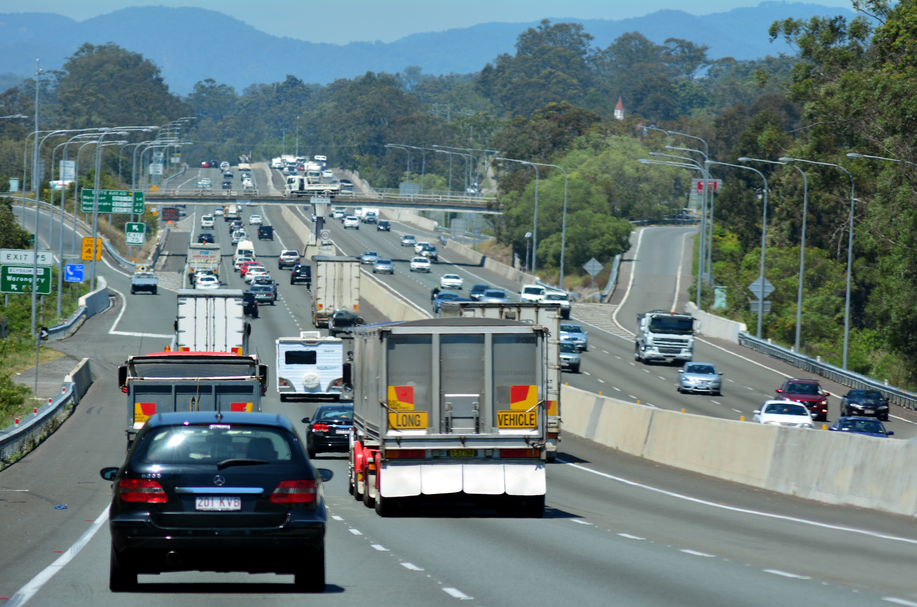
The 24km stretch of freeway experienced 788 casualty crashes between 2010 and 2014 including six fatalities.
1
Second on the list was a 7km stretch of Tasmania’s Bass Highway, between Nine Mile Road and Stowport Road, which had 67 casualty crashes in 2010-2014 with one fatality.
While these numbers are significantly lower than the M4 it’s worth noting the short stretch of Tasmanian road averaged 14,700 vehicles per day compared to the M4’s 94,050.
Overall, Queensland’s M1 Pacific Motorway fares very poorly, with multiple stretches identified as black spots in the top 10, which also includes:
- M31 Hume Freeway, M5 to Narellan Road, Campbelltown, NSW
- M1 Pacific Motorway, Gateway Motorway to Logan Motorway, Qld
- A8 East Tamar Highway, Alanvale Connector to Dalrymple Road, Tas
- M1 Pacific Motorway, Smith Street Freeway to NSW border, Qld
- M1 Midland Highway, Evandale Main Road to Howick Street, Tas
- M1 Pacific Motorway, Logan Street to Smith Street Freeway, Qld
- A1 Bruce Highway, Sarina to Mackay, Qld
- M1 Great Northern/Victoria Highway, Kununnurra turnoff to NT border, WA
- M1 Princes Freeway, Hoppers Crossing and the Western Ring Road, Vic
- Stuart Highway, Coober Pedy and NT border, SA
- Stuart Highway, Livingstone to Pine Creek, NT
The organisation points out that after 40 years of continual improvement, Australia’s national road toll is increasing dramatically, with 1273 Australians killed on our roads in the year to September 2016: an annual increase of 86.
AAA Chief Executive Michael Bradley said: “Governments are rightly focussed on how to address the worsening road toll and this report highlights the areas of highway most in need of further investment in order to save lives.”
The full report features maps showing Australia’s highways, and features quick links to send messages to local MPs in affected areas to demand better road infrastructure.
Follow WhichCar/Wheels on Google
Click the button below to make WhichCar by Wheels a preferred source for your news.