News
Gallery2
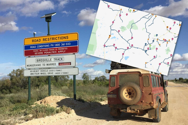
Despite yesterday marking the official reopening of the Simpson Desert after the summer closure, significant flooding on the eastern side of the desert and around Birdsville has resulted in several road closures restricting access to Birdsville and the desert.
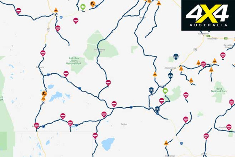
Parks Queensland has closed the desert from Birdsville to Poeppel Corner due to flooding with conditions to be reassessed on April 3. In addition to that, Queensland road closures around Birdsville include the Birdsville Track (Eyre Developmental Road) from Birdsville to the South Australian border, the Birdsville Developmental Road from Birdsville to Windorah, and the Diamantina Developmental Road from Bedourie to the Barcoo Council Boundary.
2
In other words, if you’re already in Birdsville you might find it difficult to leave until roads reopen.
The story is different on the western side of the Simpson Desert with the Mt Dare Hotel reporting that it’s still possible to enter the Simpson Desert from the Mt Dare side for those keen to do some exploring and willing to exit on the same side.
MORESimpson Desert
For the latest up to date reports on prevailing conditions and road-closure information, see the following sites:
Also check out the Mt Dare Hotel and Birdsville Hotel Facebook pages for more local information.
Please enable JavaScript to view the comments powered by Disqus.
COMMENTS