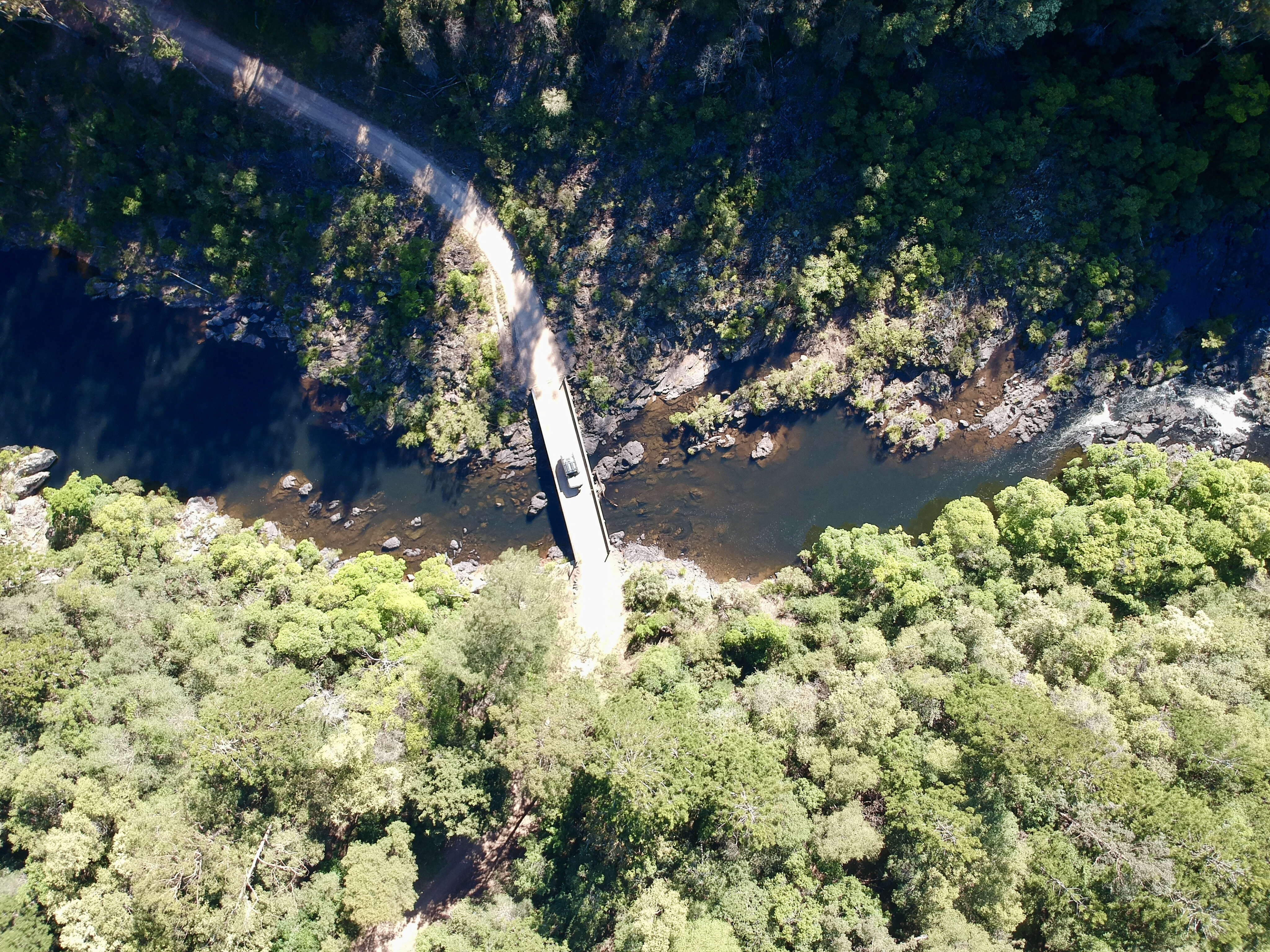
It was around 30 million years ago that an ancient volcano located just near Dorrigo gave an almighty push from the realms of our great earth, and because of this we have some fantastic four-wheel driving and destinations to explore on the NSW north coast.
A favourite with the locals is the Nymboi-Binderay National Park, located 60km west of Coffs Harbour. As well as great tracks, this national park is full of history, activities and some spectacular camping spots. Although it isn’t 4000km out the back of whoop-whoop, it should still be considered as a remote area, as there is no phone service and very limited traffic in this seriously deep gorge country.
Explore
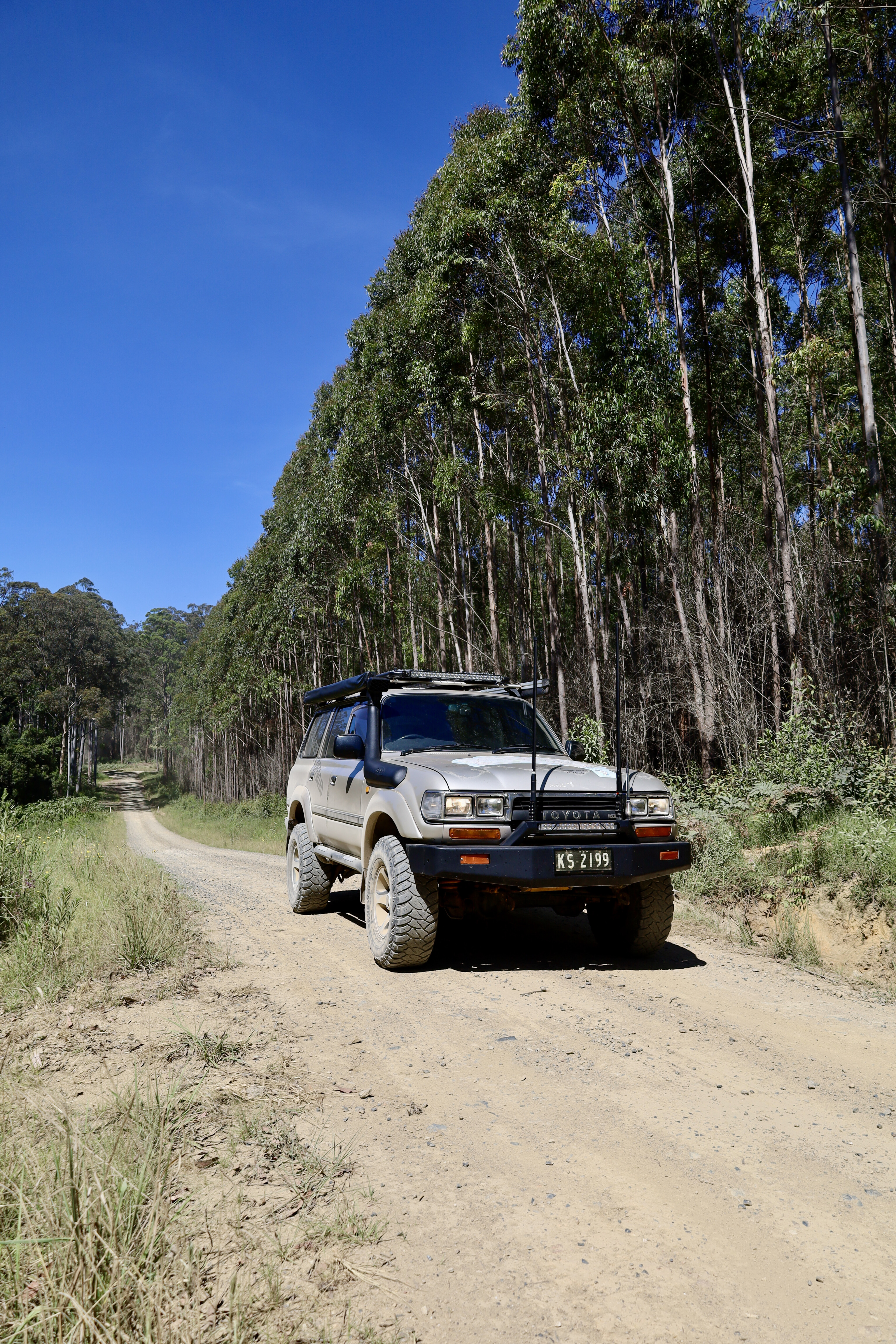
From Coffs Harbour head west through Coramba where this sleepy old town dates back to the turn of the century, when gold was the talk of the area. As you pass through Coramba take the left turn that’s signposted Eastern Dorrigo Way. This 15km sealed road starts to wind its way up onto the top of the Great Dividing Range, through stands of massive old ghost gums, stunning rainforest pockets, and tree ferns that line the road looking for sunlight.
It's a slow drive so wind down a window and listen to the whipbirds and smell the fresh, crisp air as you pass under the forest canopy. Keep an eye out for a couple of spots where you can stop and admire the view back towards the coast, and down into some steep timbered country where gold was found over 100 years ago.
Further along you’ll pass several communities such as Lowanna and Ulong. These two towns were linked by a rail system over 100 years ago when gold and timber were the main commodities in the area. At Lowanna stop and explore the restored station and gear around the grounds.
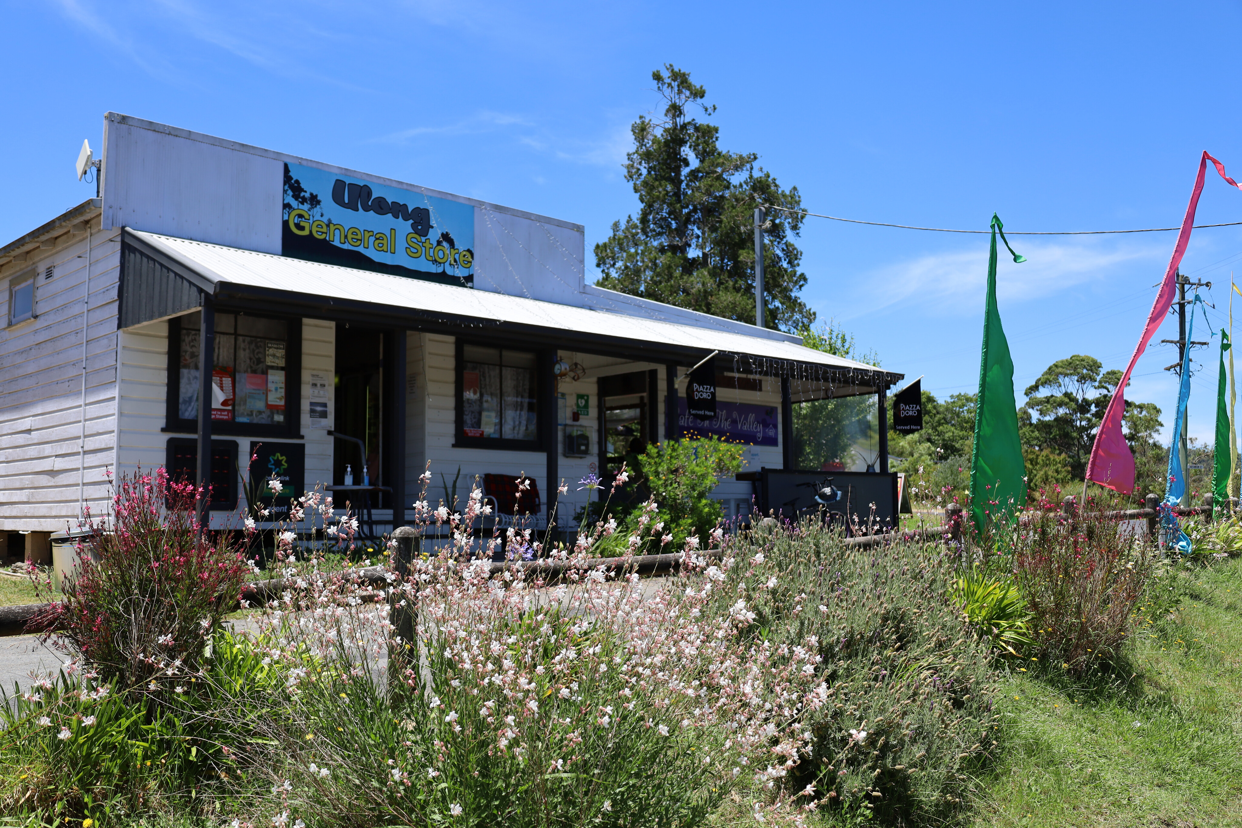
Ulong is a bustling community all centred around the Ulong General Store & Cafe, where you’ll not only get some of the best food in the area, but local information imparted by the owners about where to find waterfalls, camping spots and so much more.
After passing through Ulong, the road turns left to Dorrigo, but here you need to go straight ahead onto the dirt. Farms dominate the countryside for several kilometres before you cross the Bobo River. To your left you’ll see a huge metal bridge that spans the river but hasn't seen a train on it for over 40 years.
Part of the old Glenreagh Mountain Railway (GMR) that ran from Dorrigo to Glenreagh, there were 13 sidings, two long tunnels and other infrastructure along its tracks back in the day, servicing the hinterland to the coast. The next few kilometres will see you wind through pine and timber plantations that are continually logged and re-planted, so take note of the warning signs.
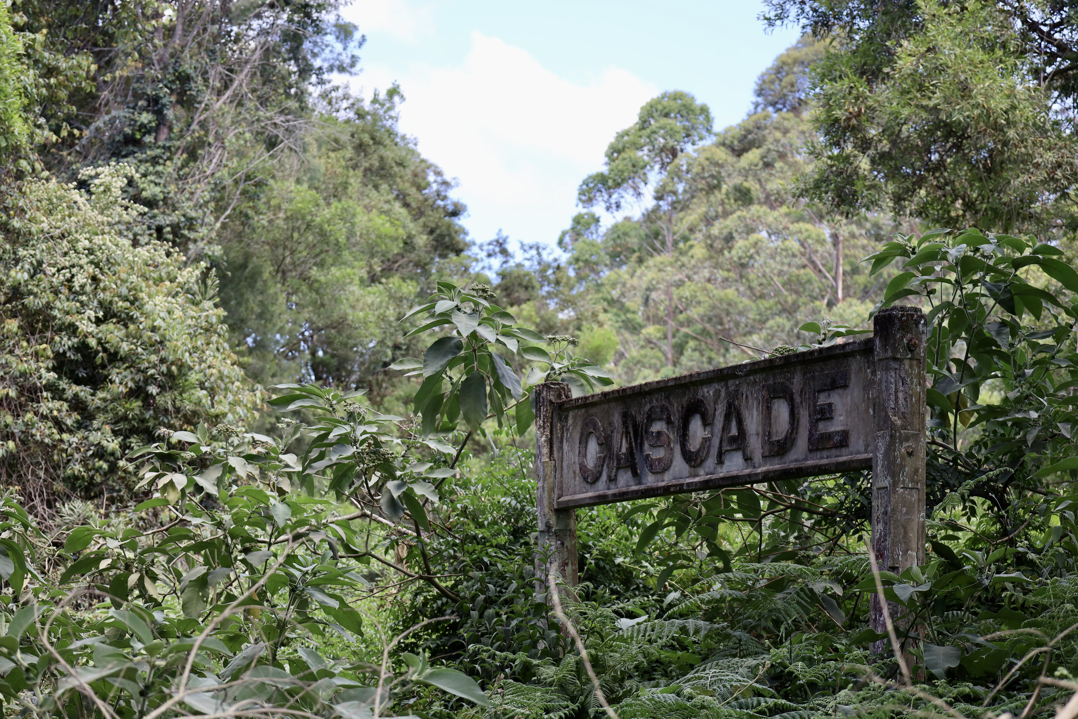
The next town you’ll enter will be Cascade, and at the turn of the century this place was alive with huge log camps, a school, and shops, while the railway had a dozen sidings. Today there’s not much left; just a few old houses and relics where you can explore Cascade Heritage Trail and the old Case Mill.
The mill operated during World War II, from 1939 to 1945, sawing rainforest timbers for ammunition cases. You can walk amongst huge old boilers and steam equipment, touch the old wheels and case press, then ponder what life might have been like here 100 years ago.
Unfortunately a few years ago, a local movie was made in the area using the mill as a backdrop and it was burnt to the ground in the final scene, never to be rebuilt. Parts of the old Case Mill still stand, but it is slowly decaying and becoming overgrown with lantana and wild vines.
Across the road from the mill is the old Cascade siding, which was once part of the GMR with a single shed and a concrete sign. There are several walks around Cascade that meander through amazing rainforest pockets and down past the old railway, and here you can see firsthand the size of the massive red cedar and hardwood trees that were hand cut with axes and crosscut saws.
Leaving Cascade along Moses Rock Road, the vegetation changes to thick overgrown scrubby country. Most of it was logged in the 80s and is coming back with a vengeance, with towering ghost gums, ironbark and blackbutt timbers all fighting for the sunlight. A popular spot to stop is Mobong Creek picnic area, where a small waterfall cascades into a large pool near the road. The rickety timber bridge takes you to a grassed area where the kids can let off some steam and if it is warm jump in the water.
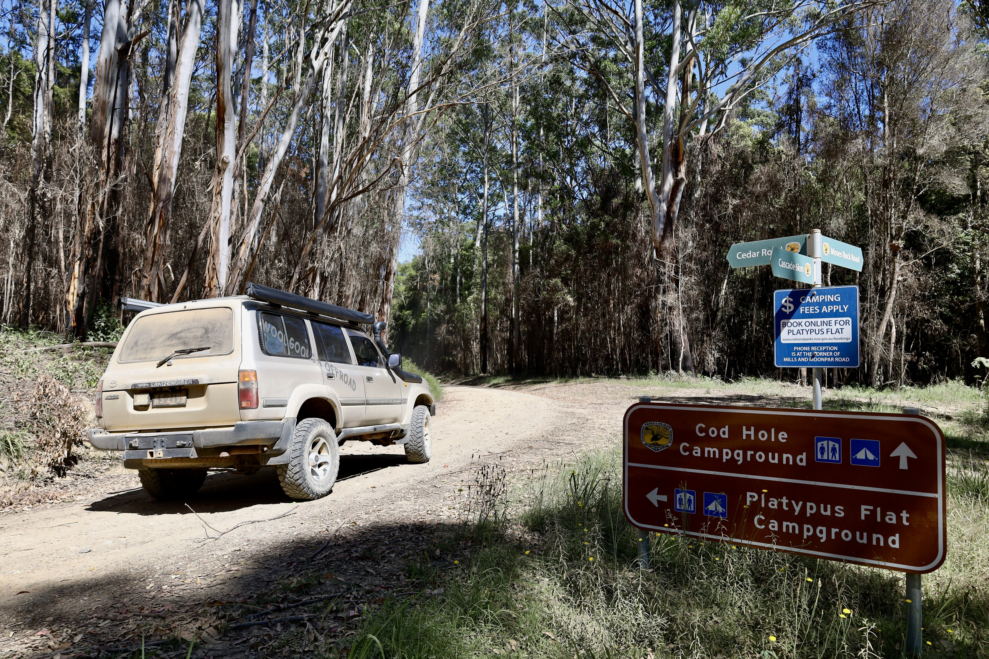
It’s not far from here that a well signposted turn points you down to Platypus Flats camping area along Cedar Forest Road. Keep an eye out for the Tramway Walking Track; this is a must do on the day. It will lead you on an amazing 800m walk around an old mill site and living area.
The construction of this 90cm gauge line began in 1925 and was used for the gathering of timber for the local market. It was an amazing arrangement where the logged trees were slung high above the ground using a sling system with a mile of steel cable that ran through pulleys and connected to a main 30m-high pole (that had to be greased daily). The logs were then slung around and placed on rail trolleys to be taken away to the mill.
As you walk the loop it is still possible to see hand-cut sleepers, the winch platform, building foundations and bridge timbers across the creek. This walk is environmentally friendly, reasonably flat, signposted and suitable for the whole family.
Once back in your vehicle and heading further west, you’ll soon find yourselves heading down hill, and this is a clear indication that you’re in gorge country. The timber begins to thin out, old Xanthorrhoea plants are dotted about the place, and the rainforest appears to have dried up.
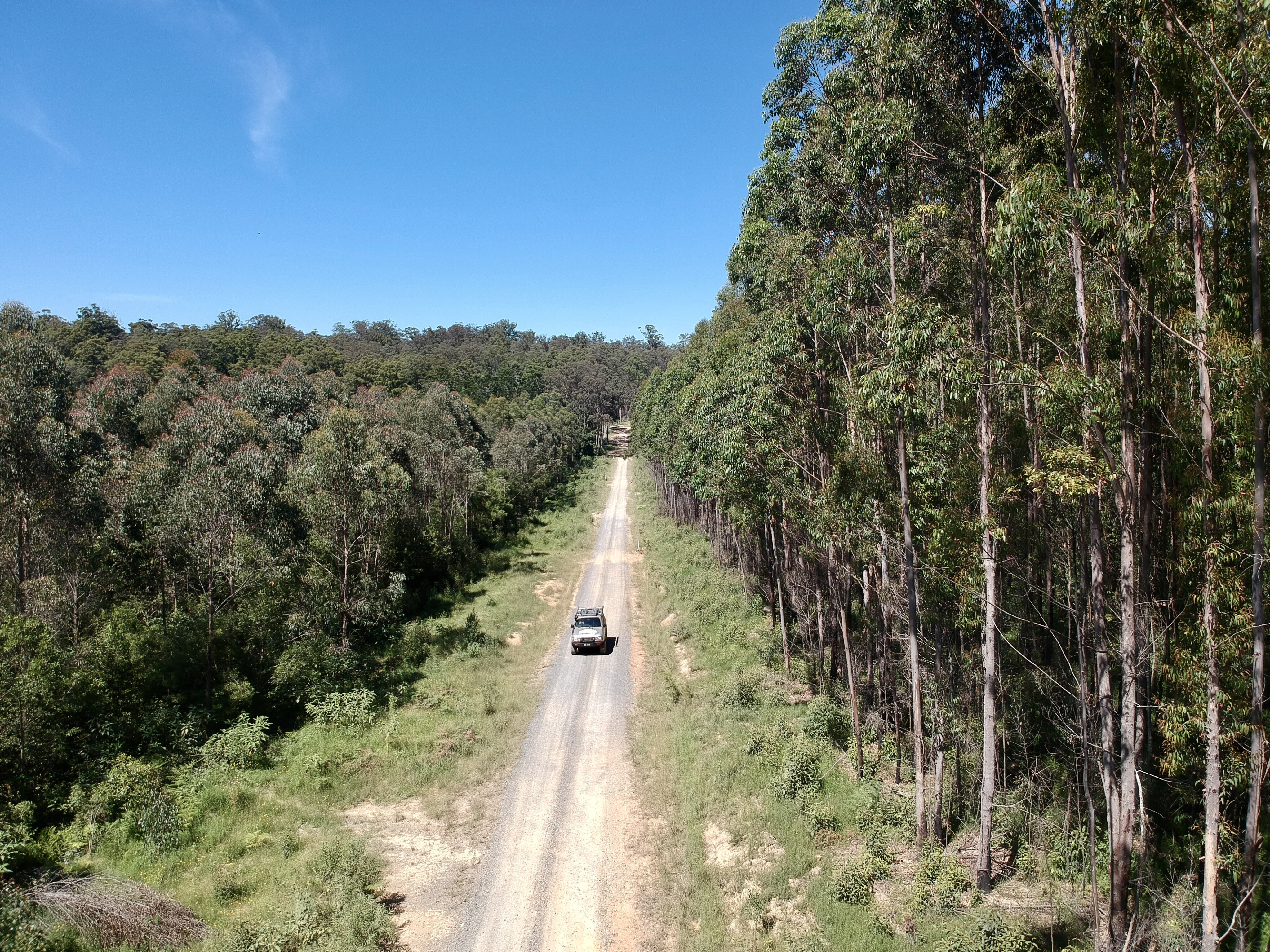
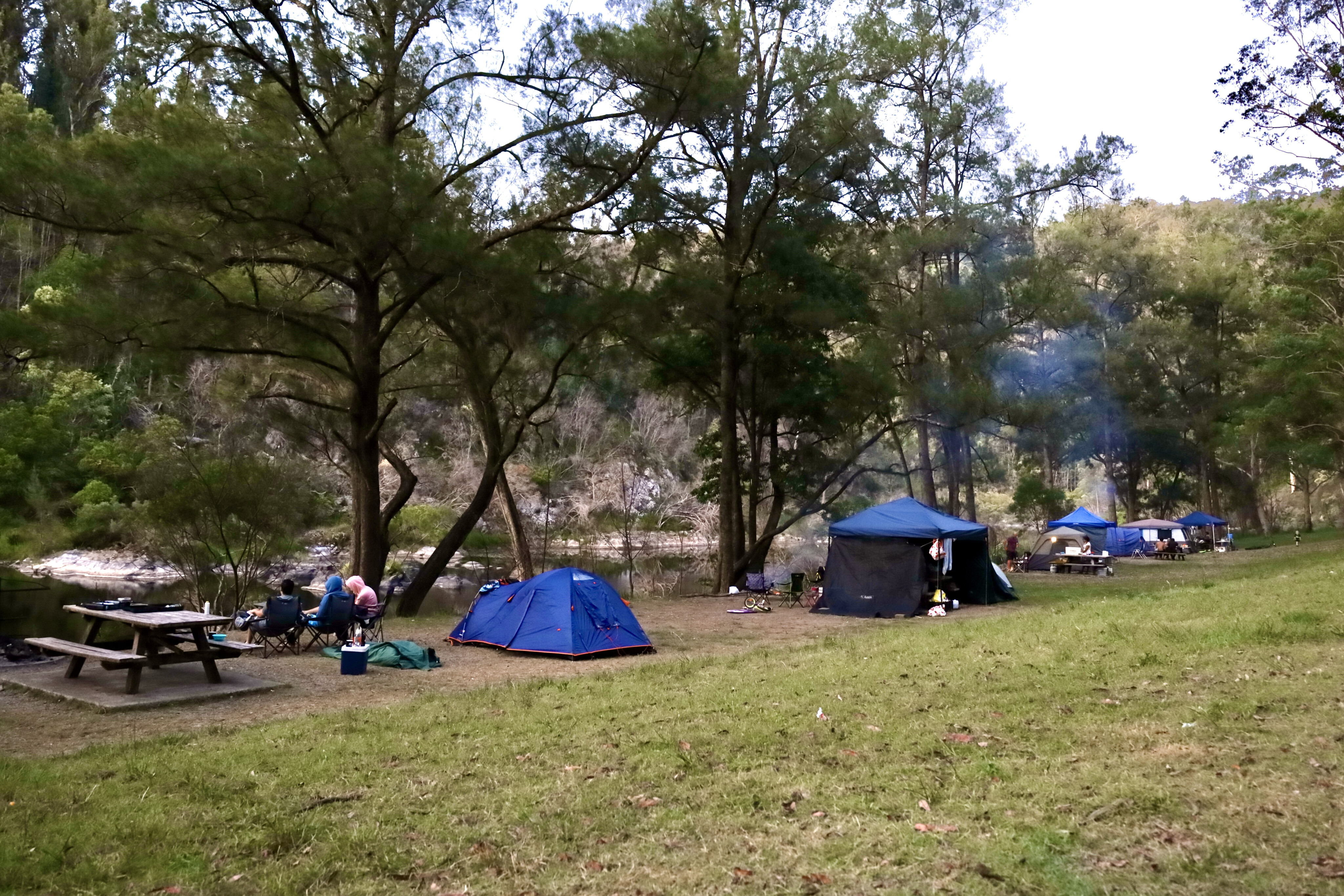
Turning right at the Platypus Flat sign, this final drop down to the river is a welcome sight where there are several options, whether it be for an overnight stay or for day-trippers, it’s all been segmented off. The campers are well looked after up in the far end with a large area to park and set up.
Camping here is recommended all year round, and while it will get chilly in the winter months, an ample fire won't take long to warm everyone up. Being a National Park, collecting firewood within its boundaries is not allowed, but wood is supplied.
Throughout the whole area there are tables, pit barbecues and a sheltered area with free gas barbies. No bins are provided here for the fact that the animals and birds would have a field day digging around in the rubbish. While swimming is reasonably safe here, be very aware of submerged rocks and logs. Around dusk and dawn, sit quietly away from the water and keep an eye out for platypus as they pop up to the surface.
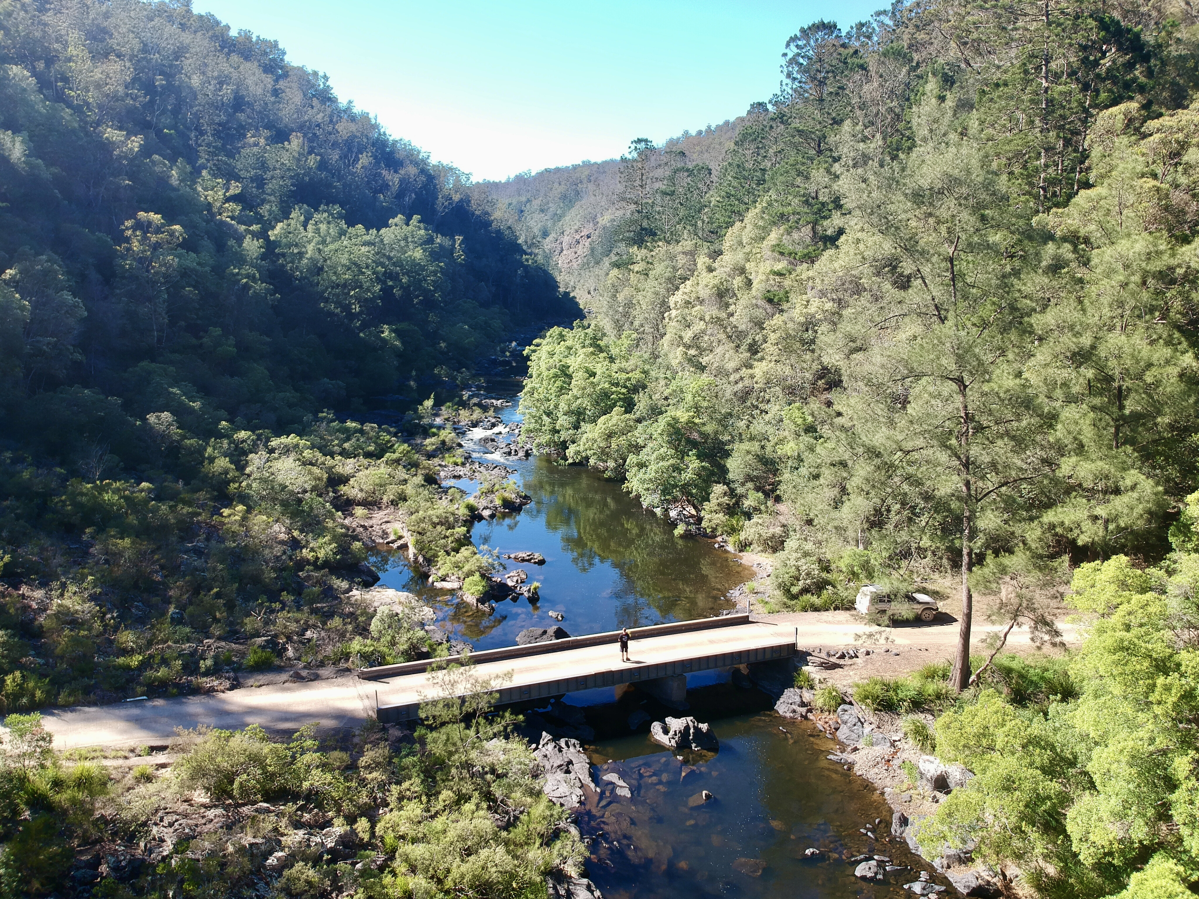
This place is fantastic even for a day trip, as you can spend hours playing with the kids, exploring the river, or just lazing around reading a book and soaking up the solitude. The Nymboida River is around 62km long and it runs along the Great Escarpment from the Dorrigo Plateau through granite gorges down towards Grafton.
For an added adventure head to Dorrigo from Platypus Flats for a drive through stunning old-growth forests and along the way keep an eye out for the old logger trees where you’ll see the cut outs for the logger’s standing boards.
At the top of the plateau take a left towards the Norm Jolly Memorial Grove (all signposted) where you’ll be blown away by the monster 800-year-old tallowwood trees that are being preserved for future generations. There's a nature walk that meanders around these magnificent trees, and through stunning tree ferns and rainforest. It’s a magical area to spend some time here, where you can have a cuppa and get lost in nature.
Dorrigo and its old-world charm isn’t far away, surrounded by world heritage forests and stunning waterfalls.
Top five things to do
- Crack a window and listen to the whipbirds and smell the fresh, crisp air under the forest canopy.
- Grab a bite to eat at the Ulong General Store & Cafe and ask the owners about the best waterfalls and campsites.
- Check out the GMR rail bridge over the Bobo River that hasn’t seen a train on its rails in 40 years.
- Gaze in awe at the te massive red cedar and hardwood trees that were once hand cut with axes and crosscut saws.
- Sit back from the water’s edge at dusk and dawn and keep an eye out for platypus as they pop up to the surface.
What’s in a name?
The first white man to have been reported here was escaped convict Richard Craig who, back in 1834, lived with the Gumaynggirr aboriginal people. The name Nymboi is a locality and the name Binderay means river, hence Nymboi-Binderay NP as it’s known today.
Camping options
Nymboi has three camping options: Platypus Flats, which is the most popular option with campers, day trippers and whitewater rafters. The Cod Hole campground is further downstream, as is The Junction where you’ll need a 4x4 to access it due to the steep terrain.




COMMENTS