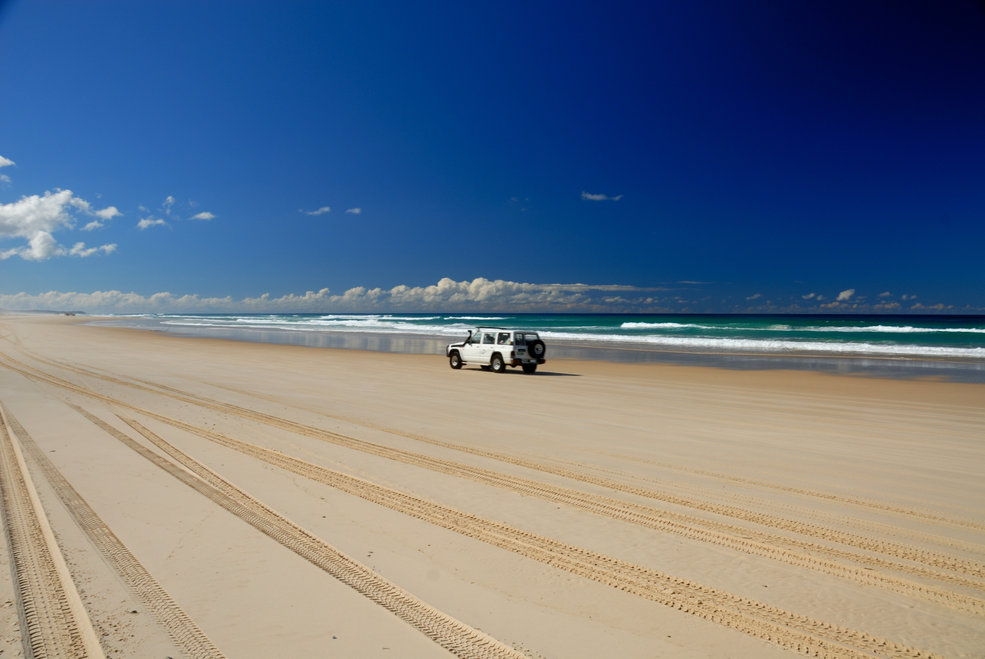
Straddie, as it’s colloquially known, is similar to neighbouring Moreton Island when it comes to what’s on offer for a weekend away from Brisbane.
The island is accessed via a ferry from Cleveland on the mainland, or by the northern tip from Moreton by ferry, as mentioned previously. The island allows for numerous activities including swimming, surfing, fishing (outside the marine park boundaries), beach driving, kayaking, camping and even golf (yep, the island has a golf course).
As with Moreton, you will need to buy a beach access permit for Straddie (this is valid for 12 months and available from Minjerribah camping) and be aware there is no four-wheel drive access to the island’s beaches an hour either side of high tide (you will be fined if caught doing this). Naree Budjong Djara National Park also covers parts of the island, and there are restrictions on vehicular access to some sites, such as Blue Lake, which requires a 5km return walk to check out.
The roads on the island are a mix of sealed bitumen and unsealed (sandy) 4x4-only tracks. The ferry from Cleveland lands at the ‘capital’ of Dunwich, which provides the opportunity to grab last-minute supplies – and an island map – before setting off.
Our preferred route begins by heading north along Dickson Way; although, a nice and short side-trip option is to drive east along Tazi Road for a brief circuit of Brown Lake. Just be aware this lake circuit is suited to high-clearance off-roaders and can be quite muddy/boggy after rain.
For those heading north, looking for a nice, easy family trip, stick to East Coast Road from Dunwich, passing through the northern section of Naree Budjong Djara NP before veering left (north) toward the caravan park at Amity Point (where the Moreton Island ferry lands).
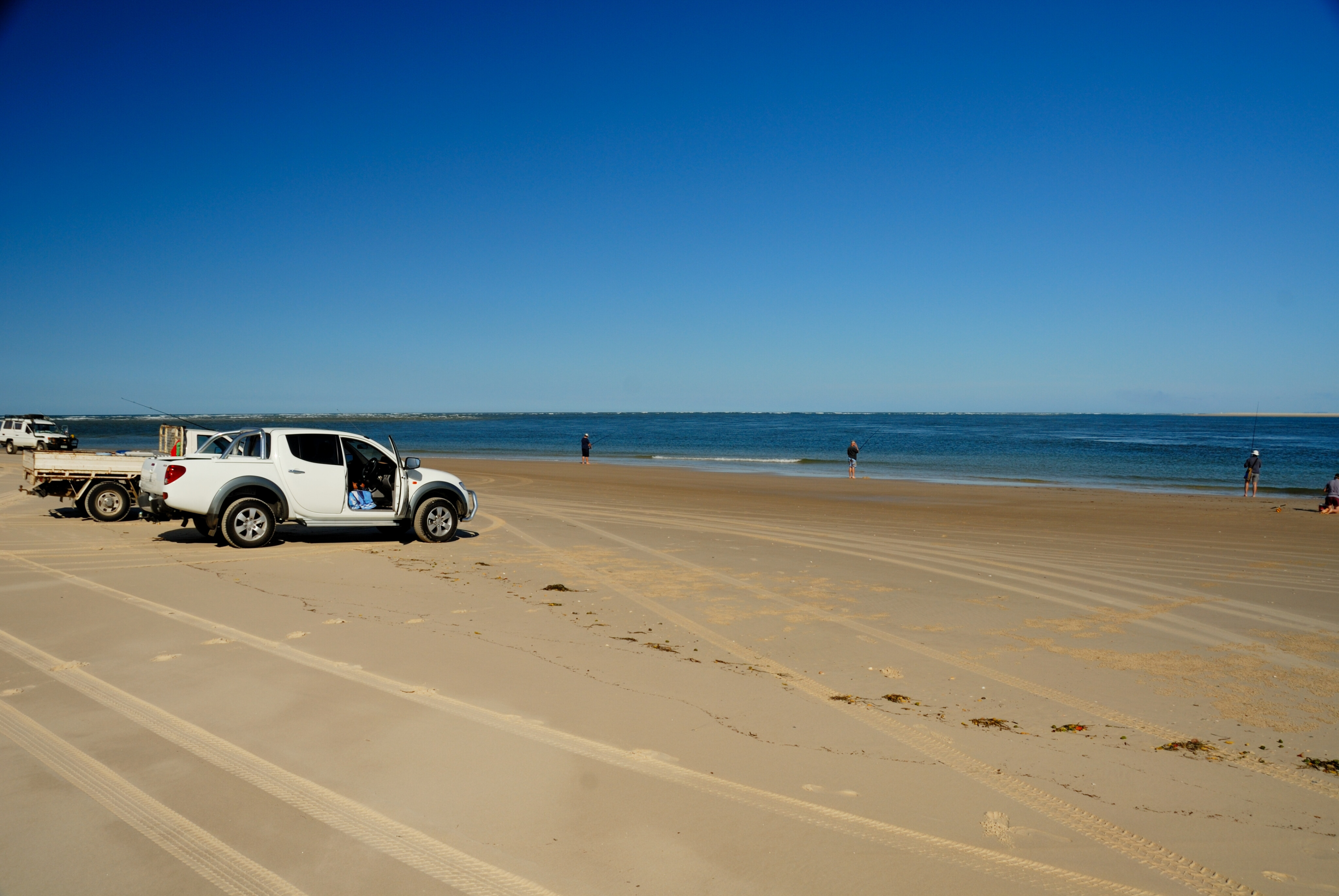
Or, preferably, turn right and settle in at one of the excellent campsites dotted along Flinders Beach that runs along the island’s northern coastline. The beach driving along Flinders is fantastic, but be aware this is a popular area and there will be a fair number of pedestrians on the beach (and anglers testing the waters), so take it easy.
This beach drive leads to an exit near Adder Rock before the tiny settlement of Point Lookout (fuel and food/supplies here). Then, it’s on to the big one – the 24km journey south along Main Beach to the end-point (literally) at Jumpinpin Channel (aka The Pin), which is the channel separating the north island from South Straddie.
You can opt to camp along Main Beach at any number of campsites, or you can retrace your tracks north and turn west onto the sealed Tazi Road (this will take you past the Blue Lake walk carpark) and return to Dunwich, taking in Brown Lake if you didn’t visit it at the start.
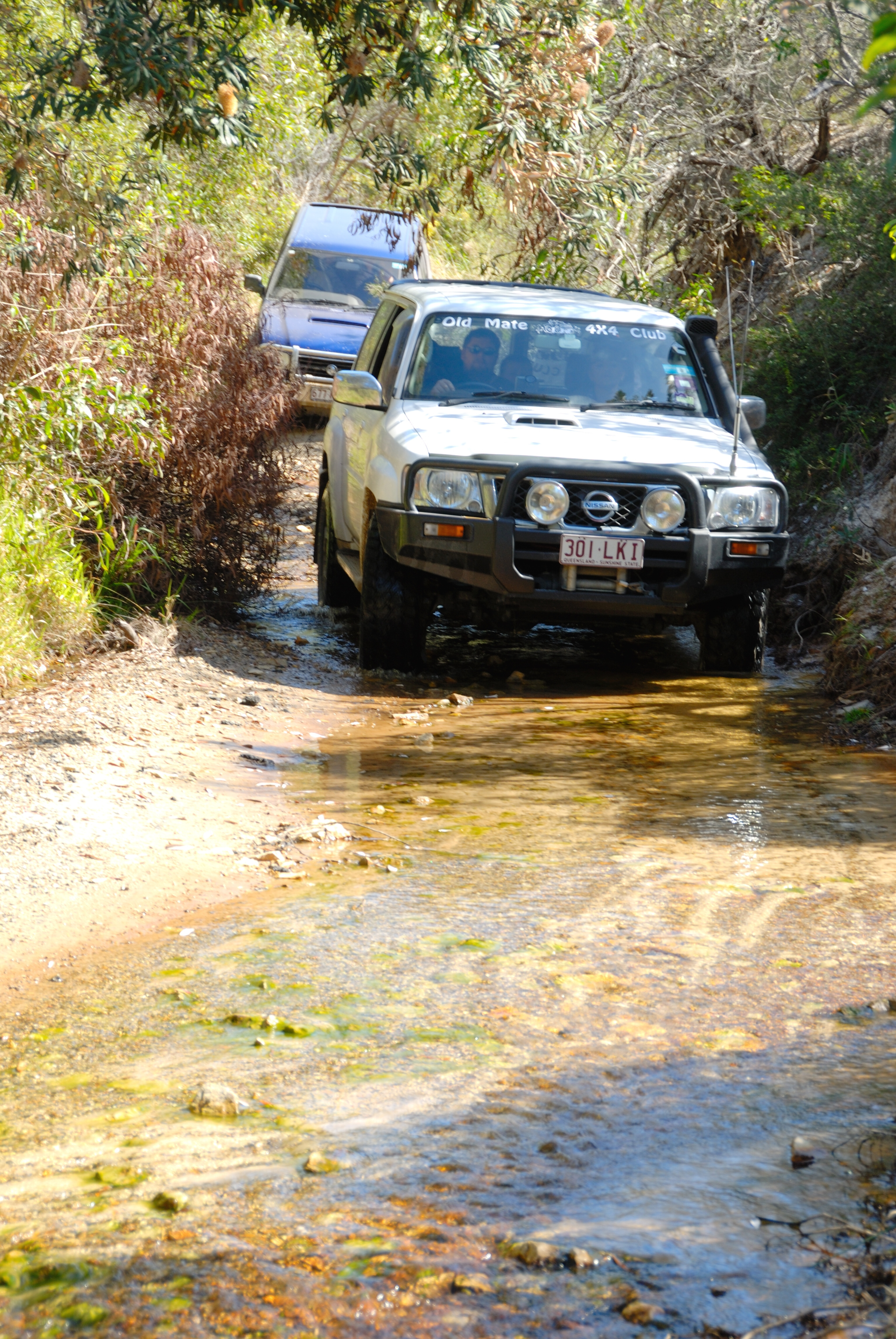
A far more challenging route on the island is to initially head north from Dunwich along the East Coast Road/Dickson Way and turn right just past the Beehive Road turnoff, onto Tripod Track. This is a cracker of a drive and leads you through the island’s densely vegetated interior (also stop off at Tripod Lookout for great views over the island); before you descend a very narrow track, briefly rejoin bitumen on Tazi Road, and then turn onto Fishermans Road.
Drive north on this until you see the turnoff to Keyhole Lakes Track on the left. This tough side trip (thanks to the many water crossings; it’s highly recommended to only attempt this with a vehicle fitted with a snorkel and to check depth beforehand) is rewarding if you have the necessary skills and equipment (a water-crossing tarp isn’t a bad idea, either).









COMMENTS