Explore WA
Gallery49
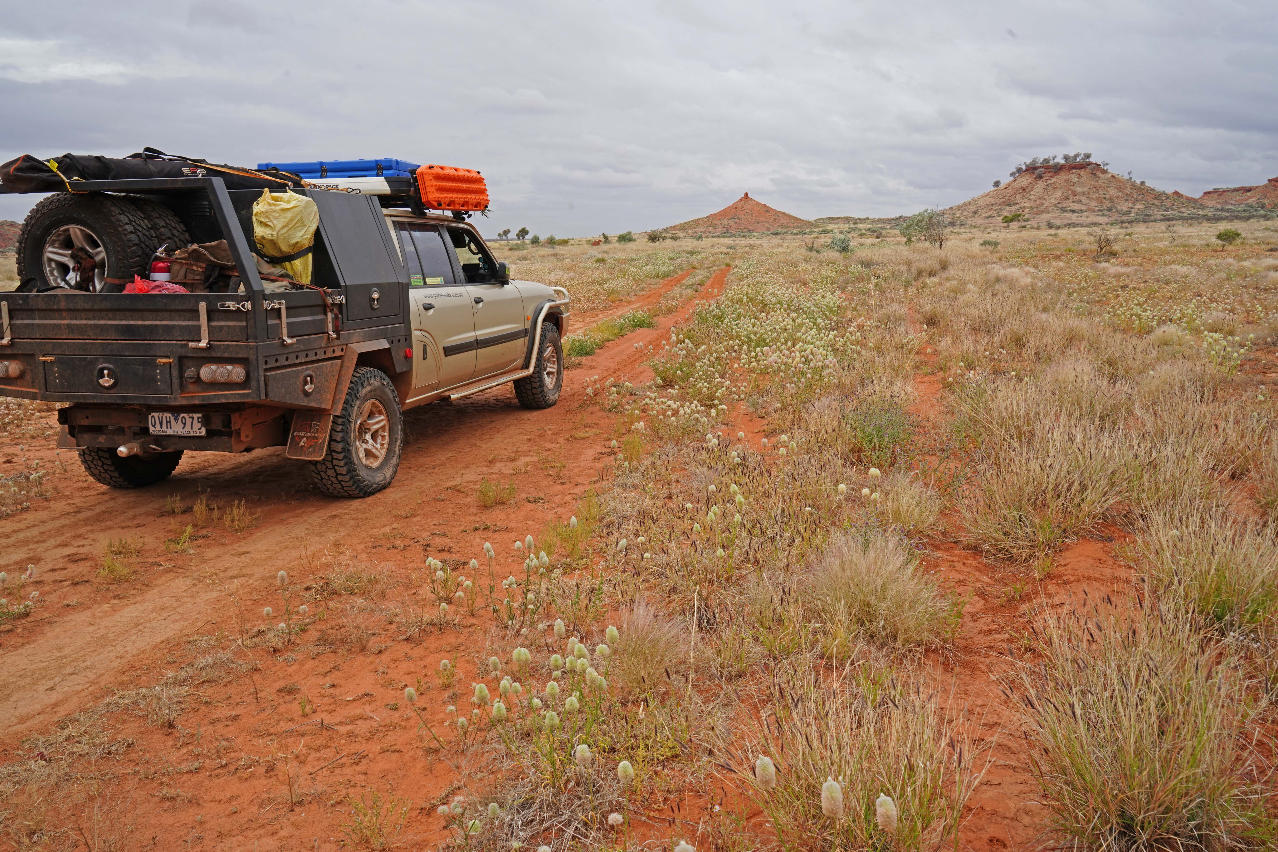
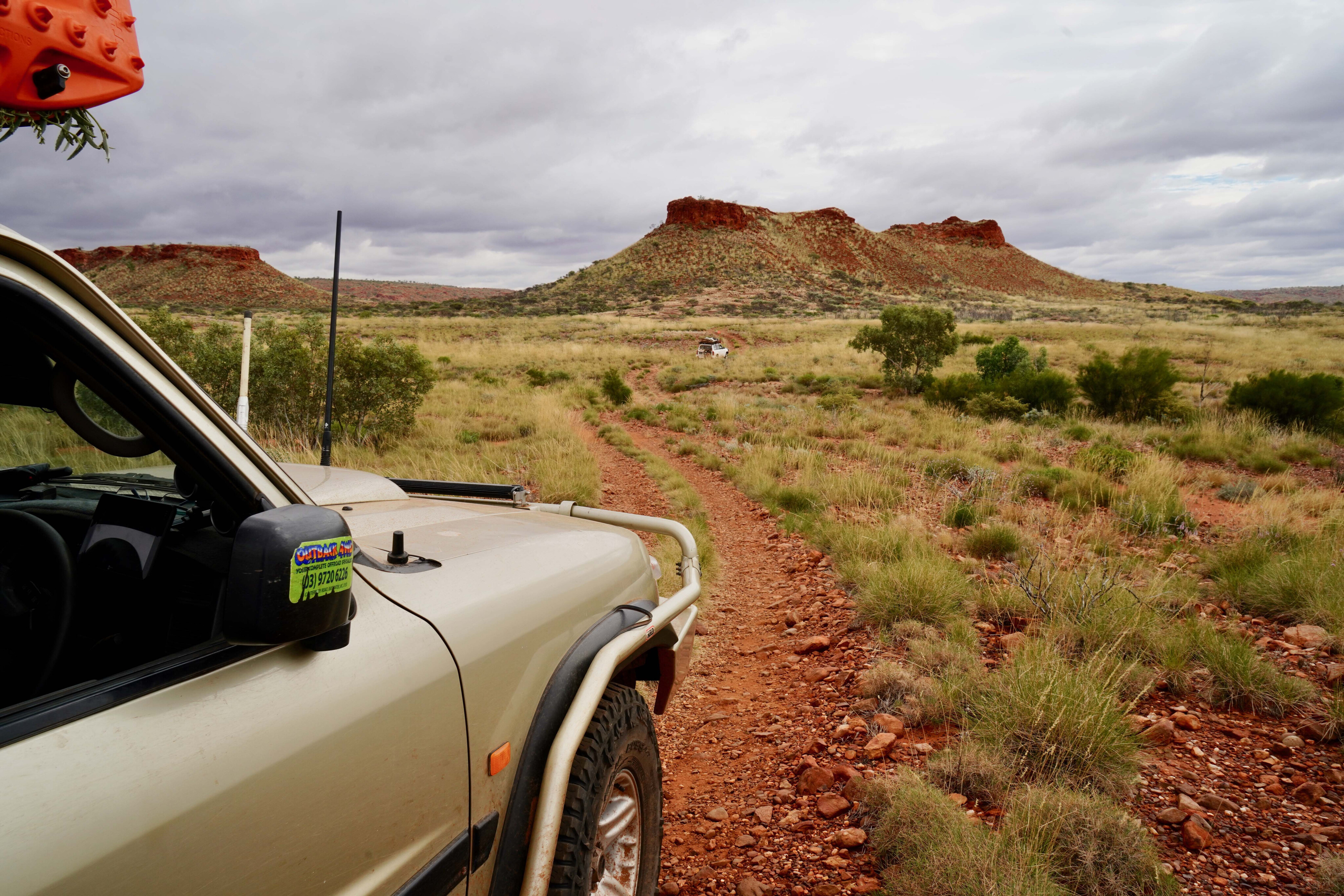
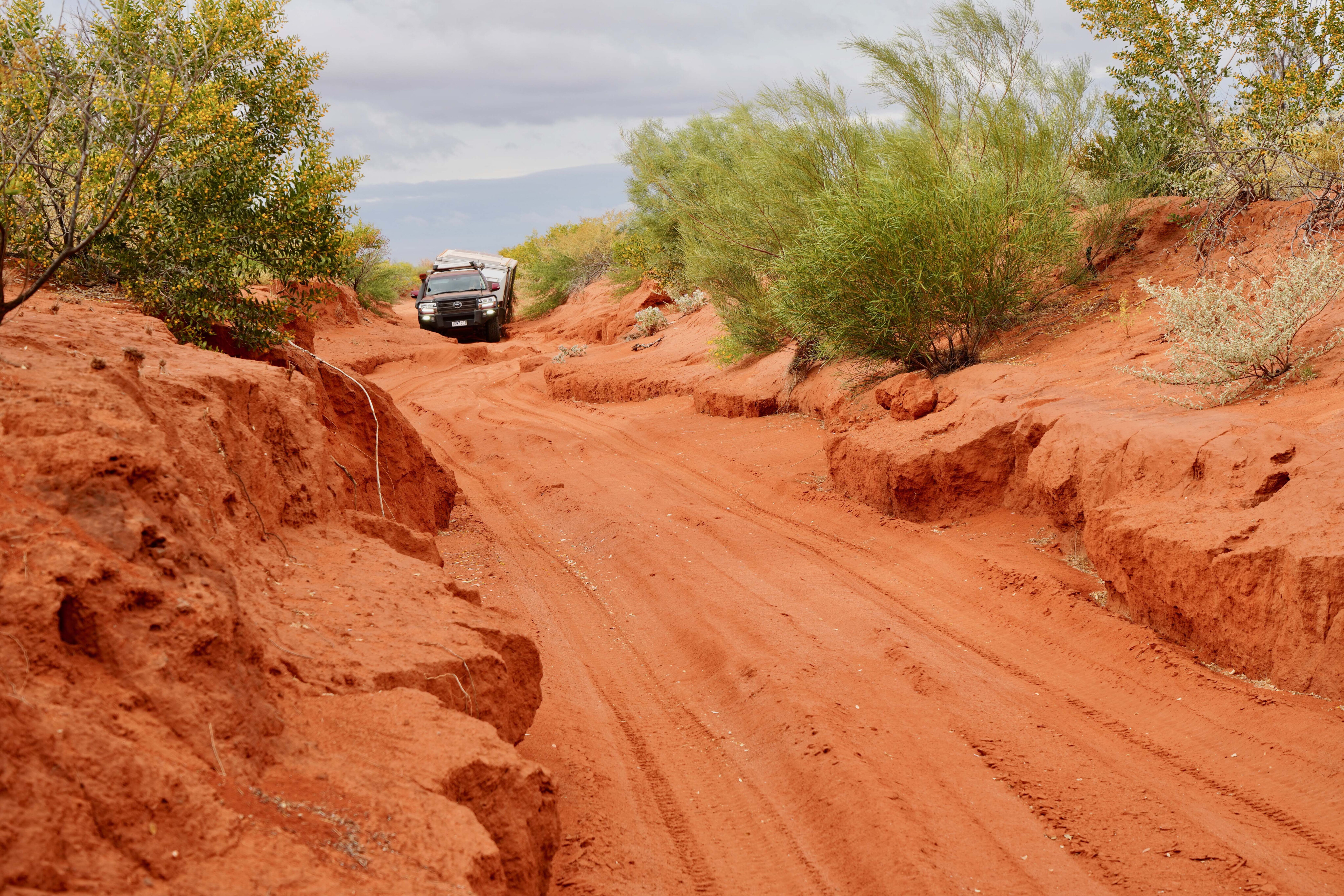
The track had turned a little gnarly, not that it would stop a well set-up four wheel drive driven confidently, but the sharp entry and exits to the creeks makes it difficult if you have a camper on the back.
We were west of the main north-south track through the Karlamilyi National Park, formerly known as Rudall River NP, and while the main track has challenges of its own it is generally much better than the side tracks leading to the many waterholes and points of interest that dot this huge park.
Surrounded by dry but vegetated desert country, typical of inland Australia, the Rudall River rises in the very west of the park where Three Sisters Hills acts as a natural barrier to the Little Sandy Desert.
49
The river doesn’t always make it to Lake Dora, its flow dictated by the annual Wet season rains
Sweeping in a great arc, once it leaves the rocky hills and sheer red bluffs of the Fingoon Range further east, it wanders north-east amongst the dunes of the Great Sandy Desert to finally ooze, after 240km or so of torturous meanderings, into the shallow ephemeral Lake Dora.
The river doesn’t always make it to Lake Dora, its flow dictated by the annual Wet season rains which can hardly be called reliable.
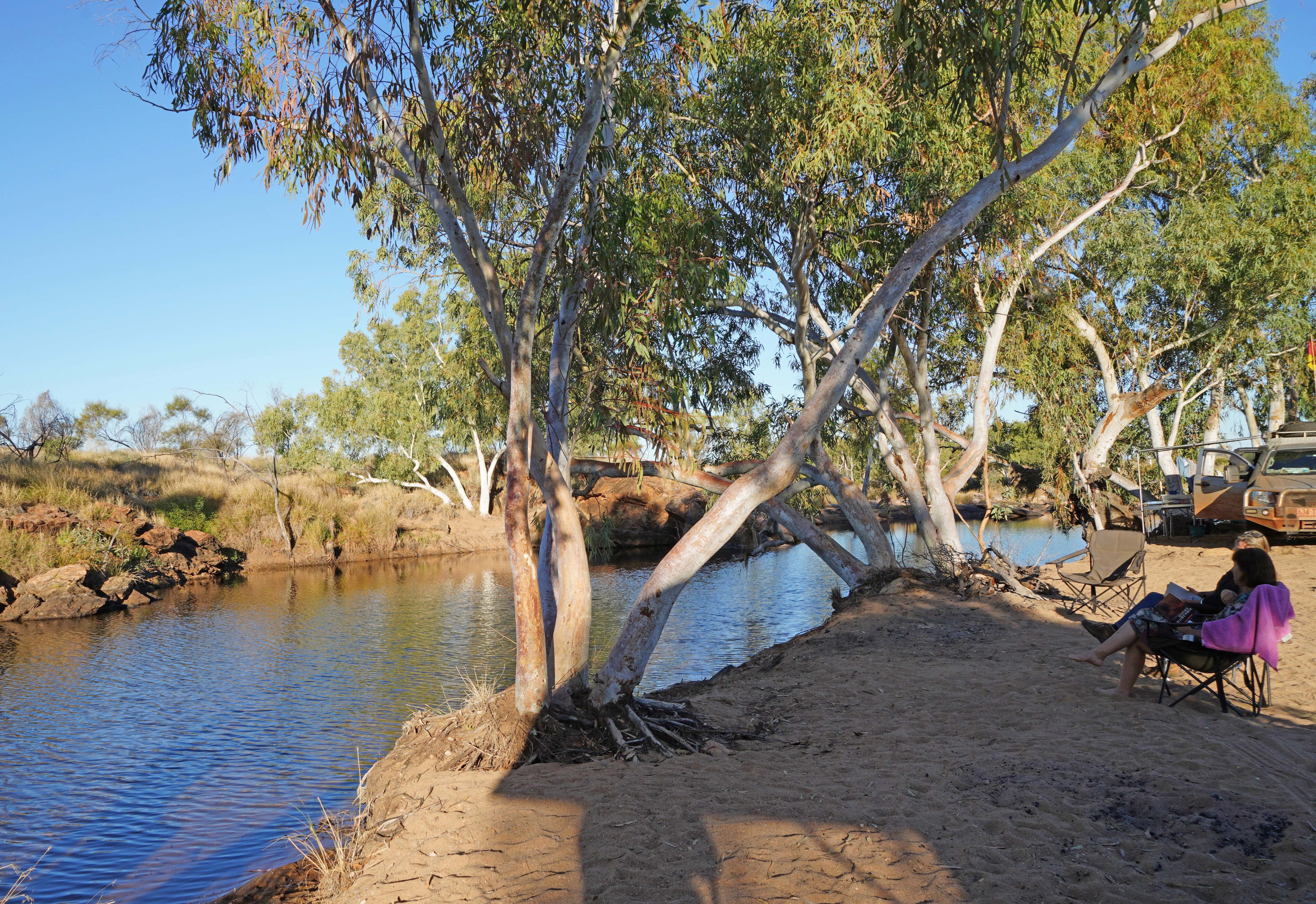
Even so, the river has a number of permanent and semi-permanent waterholes along its course and these make the area an oasis for bird and animal life, as well as for the early inhabitants of the region and for today’s adventurous travellers.
49
What's in a name?
The river is known as Karlamilyi in its lower reaches by the Aboriginal people of the region, while its upper reaches is known as Waturarra, which we crossed just upstream from the not-so imaginatively named No. 11 Pool.
The track then swung north-west paralleling the creek until we descended the low hill to the much more creatively named Tjingkulatjatjarra Pool, a native name that remains unpronounceable to me.
The small camping area at the pool’s northern end is a cracker, ideal for one or two camps, but sadly it was already occupied when we arrived, so after a bit of a yarn to the occupants and a few photos we turned around and headed back to our camp situated on the low stoney rise just up from the main crossing of the Karlamilyi River.
49
The Martu Aboriginal people have inhabited Karlamilyi and its surrounds for thousands of years and their deep connection to this country still remains strong.
There are two communities in the park – Parnngurr, previously known as Cotton Creek because of the name of the nearby stream and located near the southern boundary of the reserve, and Punmu, in the north-east of the park on the edge of Lake Dora. Both communities have limited shop and fuel facilities.
The river was named by the European explorer Frank Hann in 1897 after the surveyor William F. Rudall, whom Hann met in the area while he was prospecting, and Rudall was searching for men missing from the Calvert Expedition.
49
Rudall first crossed the unnamed river in late December 1896 and traversed its entire length on a second search between April and June 1897, when he had met Hann at a spot Hann called Meeting Gorge, which is today just outside the western boundary of the park.
They probably weren’t the first Europeans in the area though as a gold strike at Nullagine 10 years earlier had brought many wandering gold seekers into the area just to the west of what was to become Karlamilyi NP.
49
Early visitors
With the mapping and the establishment of the Canning Stock Route in 1906-07, just 100km east of the Karlamilyi River, more pioneers were moving into the area. In 1908, W.H.B. Talbot from the WA Geological Survey was asked to explore the area between the stock route and the Rudall River for gold or other valuable minerals.
His report concluded, “… I may say I am of the opinion that gold does not exist in the locality.”
In the 1920s Talbot was out again in the desert country, this time looking for oil for the Freney Kimberley Oil Company. By the 1950s other companies had begun searching for oil and gas deposits, some of which included the area now covered by the national park.
49
In 1963 Len Beadell and his Gunbarrel Road Construction Party graded the Talawana Track as part of their work for the Woomera Rocket Range.
Just a couple of years later WAPET (West Australian Petroleum Pty. Ltd.) constructed the Wapet Road (or Kitson Track) between the coast and the Canning Stock Route. These routes pass to the south and north of the park respectively and offer the easiest access to it, with the main north-south track through the park linking the two.
This improved access led to a surge in mineral exploration and in 1972 Newmont discovered the mammoth gold and copper deposit at Telfer. Other discoveries followed.
The national park was initially proclaimed in 1978 but its northern boundary was changed when uranium was discovered in the 1980s, but no mining of that deposit has yet taken place. The park’s name was changed to Karlamilyi NP in 2008 and it remains the biggest national park in Western Australia.
49
Touring today
We had come from the east a few days previously along the Talawana Track, stopping at Parnngurr for fuel and supplies.
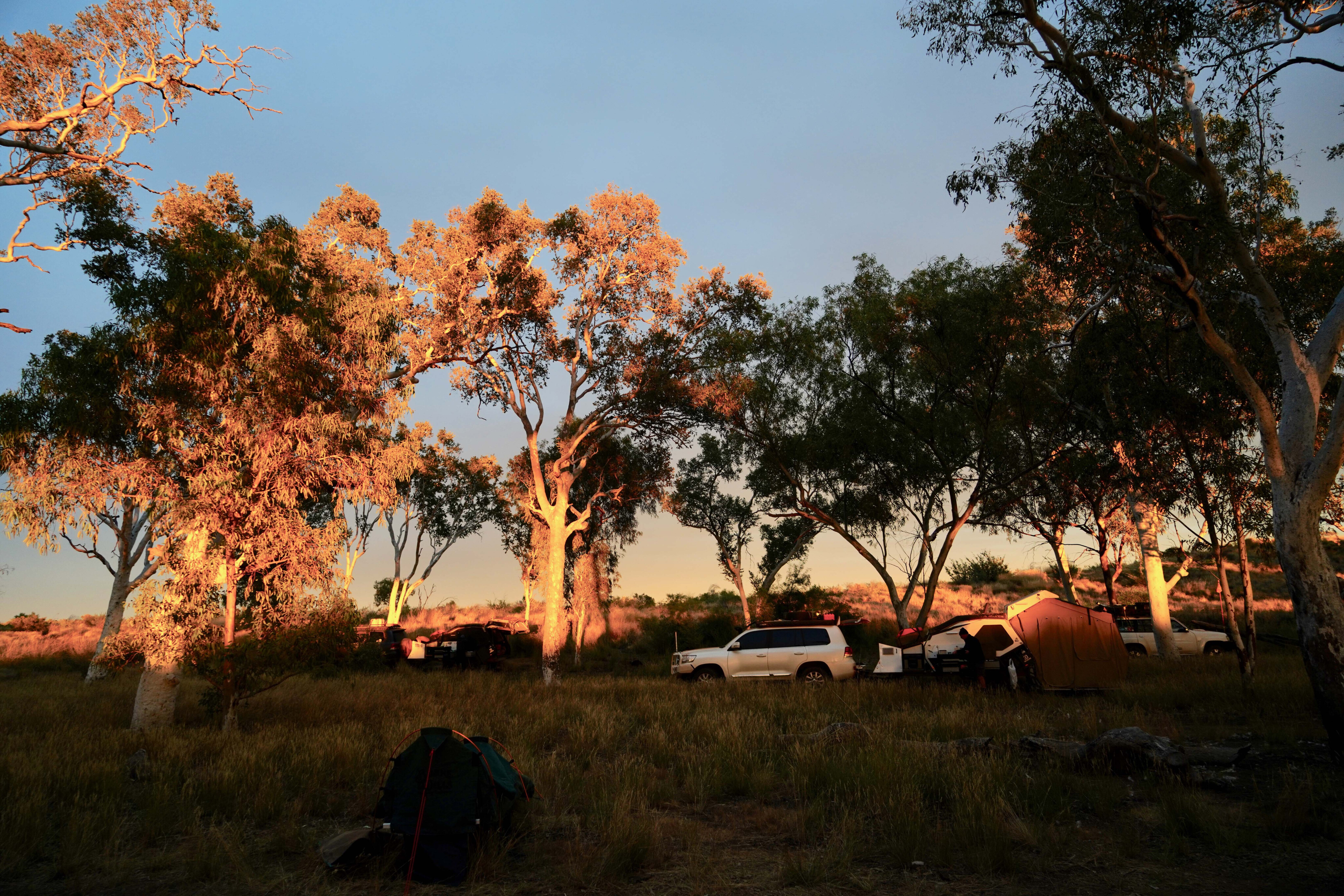
It’s a tidy, friendly community and well worth visiting. From there we headed west and turned north on the main access road to the park, stopping for the night at the southern boundary amongst a stand of delightful white gums. This camp used to be even better when the bore with its hand pump delivered cool clear water, and it is a shame that it has now fallen into disuse.
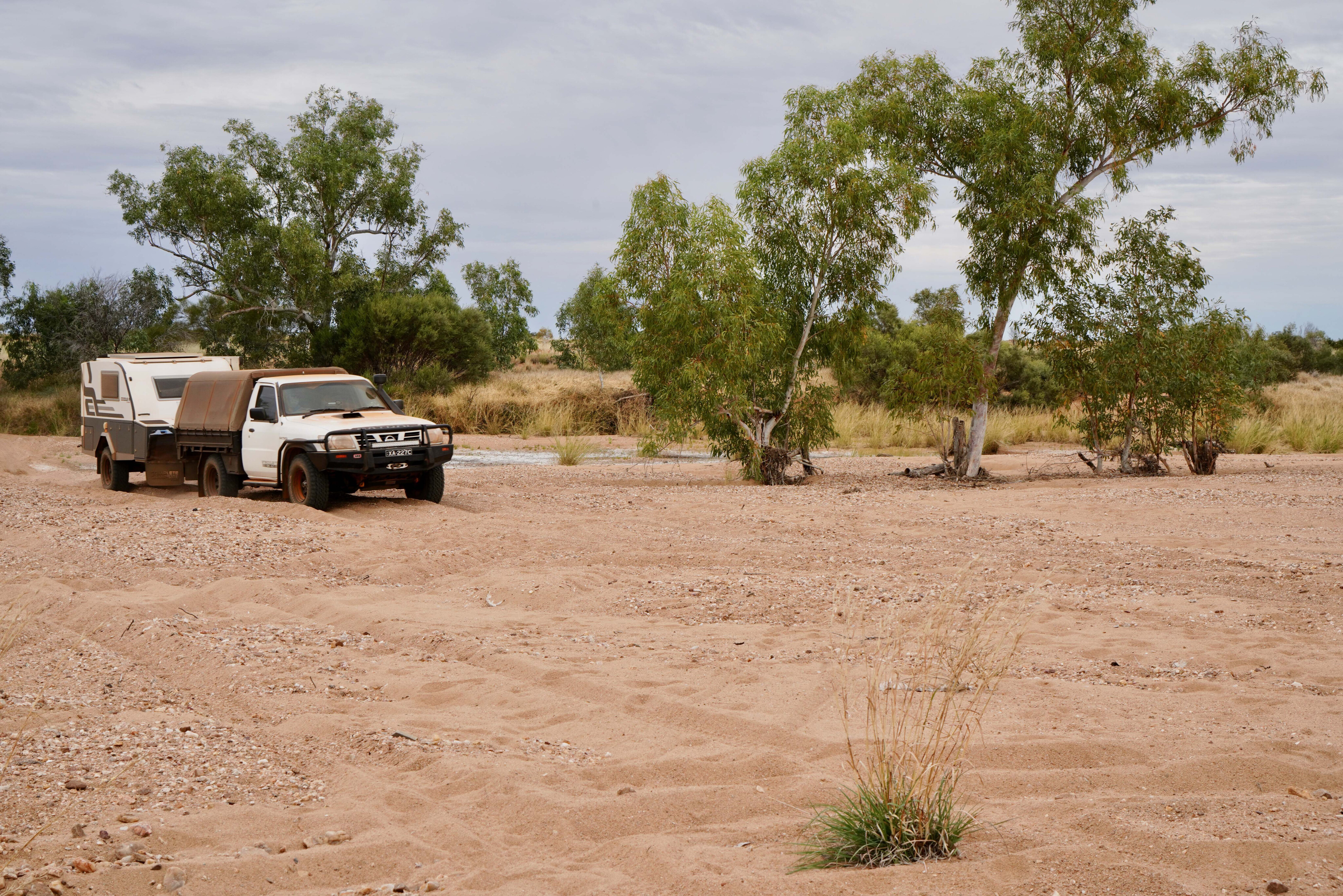
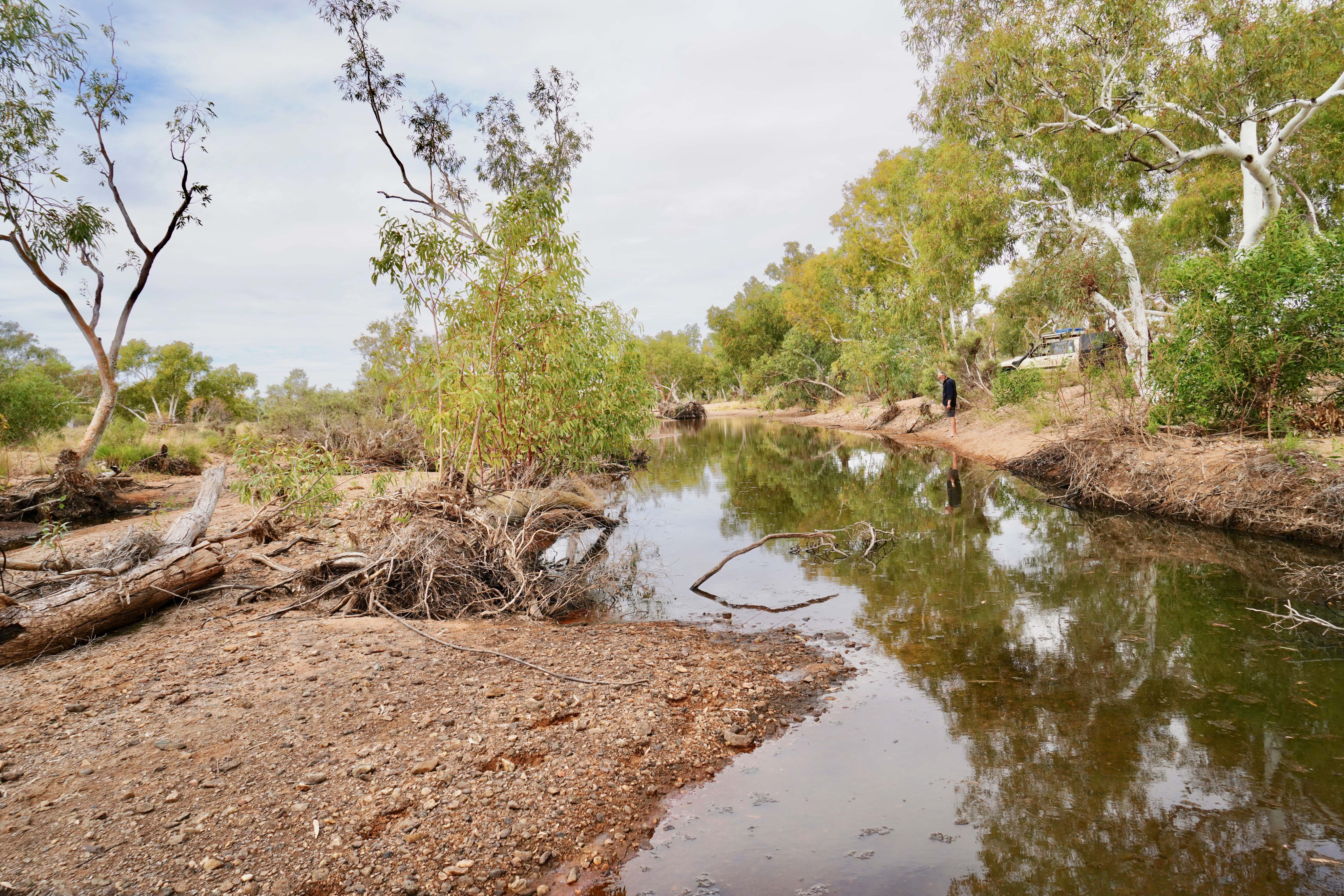
From there our party, all towing campers, wandered northwards and crossed the wide sandy bed of the Rudall River without any hassle. Knowing that the track west was a bit slow with vehicles towing campers we set up camp on the low hill just north of the crossing and while we went westward, others in our group explored eastward to Kalkan Kalkan Soak.
49
This eastbound track on the south side of the river eventually heads to Parnngur but it is very eroded and slow going, with or without a camper in tow.
On both recent trips we spent some time repairing broken equipment; testimony of the rough tracks and challenges you have when coming to Karlamilyi from the east. After a couple of nights at our hill camp, we wandered north again along the main track, which at one point became the bed of a sheer-sided sandy creek bed, which meant engaging low range for a short while.
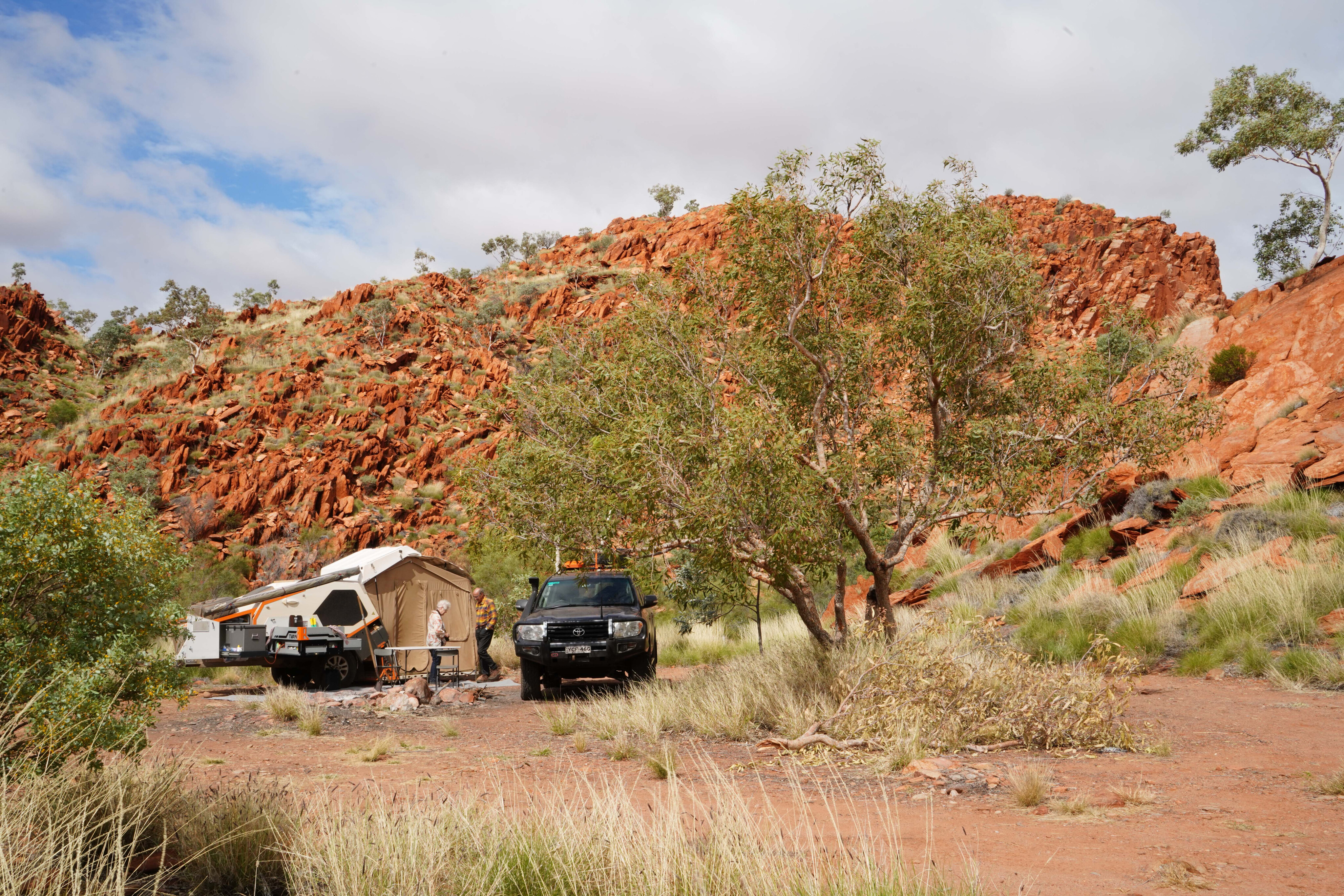
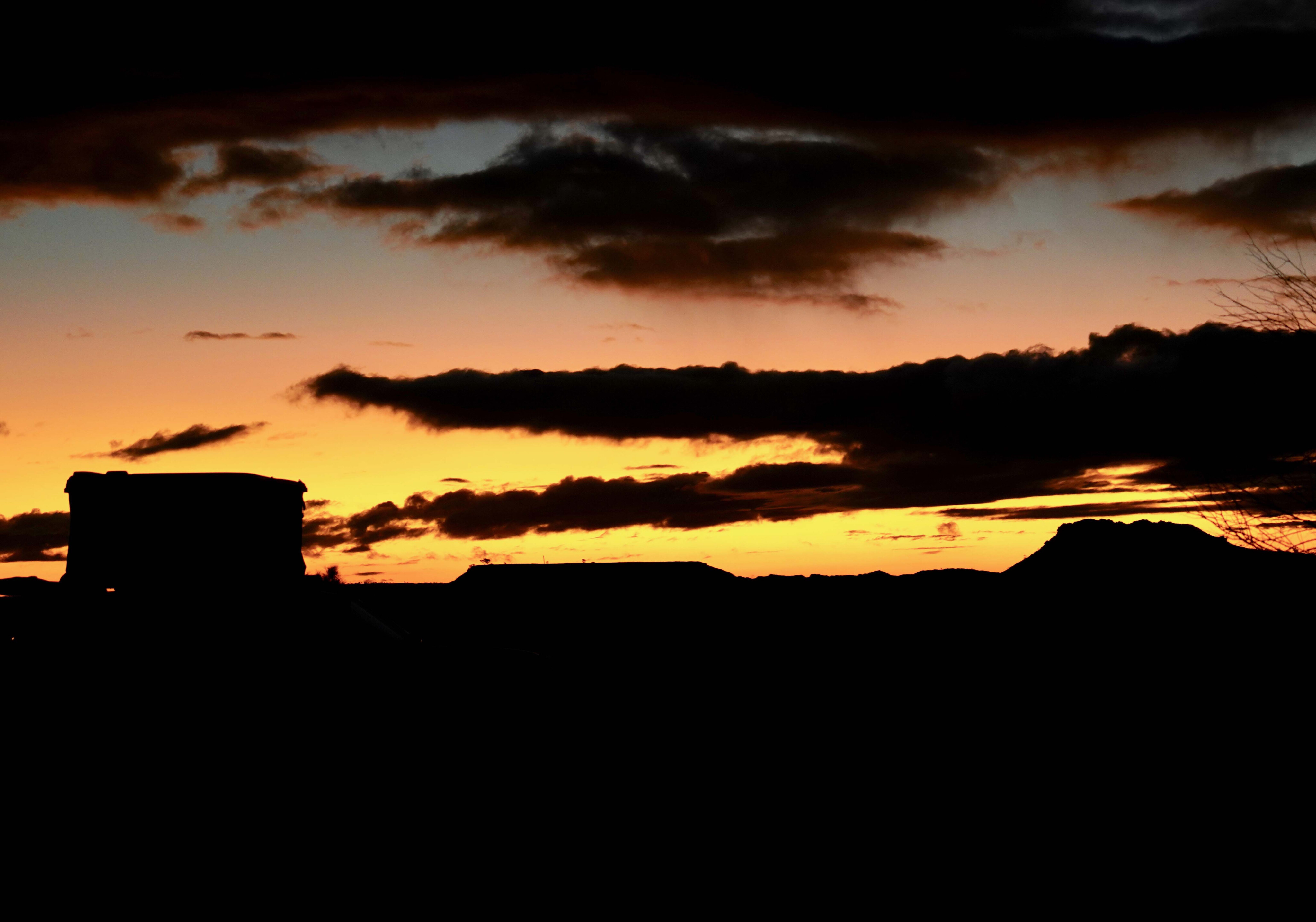
Our second camp was on a small claypan opposite the line of bluffs about 2km south of the track to Desert Queens Baths (DQB). It’s a spectacular spot with the red cliffs illuminated by the setting sun. Then, as the light fades and the stars begin to make their presence felt, the cliffs stand out in a dark, etched silhouette as the moon rises in the east.
49
Taking a bath
From here it is about a two-hour drive into the baths, and that is without a camper on the back; the added hassle of a camper makes it really not worth it for just one night.
As it was, on our first recent visit in 2022 the place was crowded with four camps and six vehicles, while on our second visit in 2023 there were two camps, both a big difference to my first visit in the early 1990s when we saw nobody in the whole park.
The track winds across sharp-edge creeks and among some bluffs with Compton Pinnacle being a stand out landmark. Just before you get to the carparks at DQB there is a track junction, the right-hand one taking you a few hundred metres to a couple of small parking areas below the red rocks of the rugged range.
49
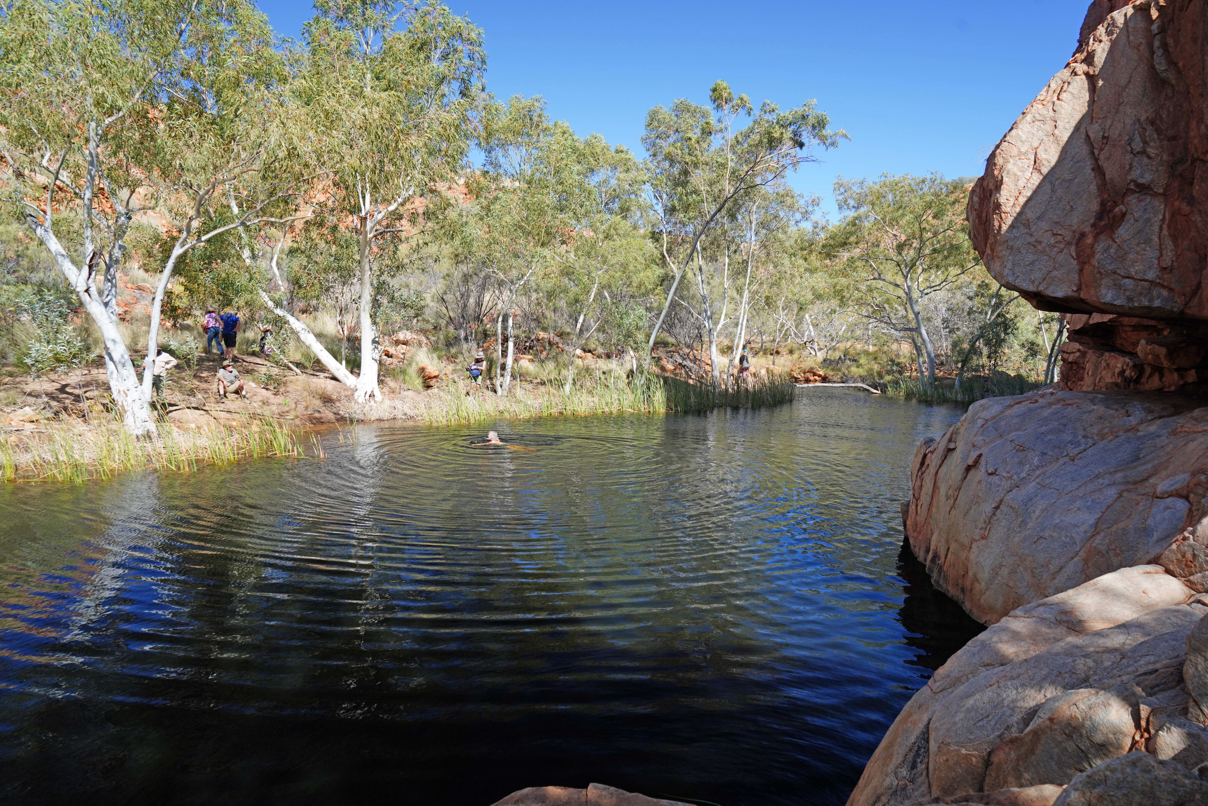
A short walk, rock hopping over the water-worn boulders from the carpark at the entrance to the gorge, will get you to the first pool hemmed in on one side by sheer cliffs and on the other by tall shady gums.
From here you can wander deep into the gorge following the waterway to a series of pools that will take you ever deeper into the range. Rather surprisingly, this permanent water isn’t on the Rudall River itself, but a tributary of the Rooney Creek which meets with the main river some distance east.
While I have looked for Aboriginal rock art on the bluffs around these sources of permanent water I haven’t had much luck, even though I had surmised there had to be some. And later, back home, I found a photograph in a dust-covered report that detailed some faint petroglyphs above the main pool.
49
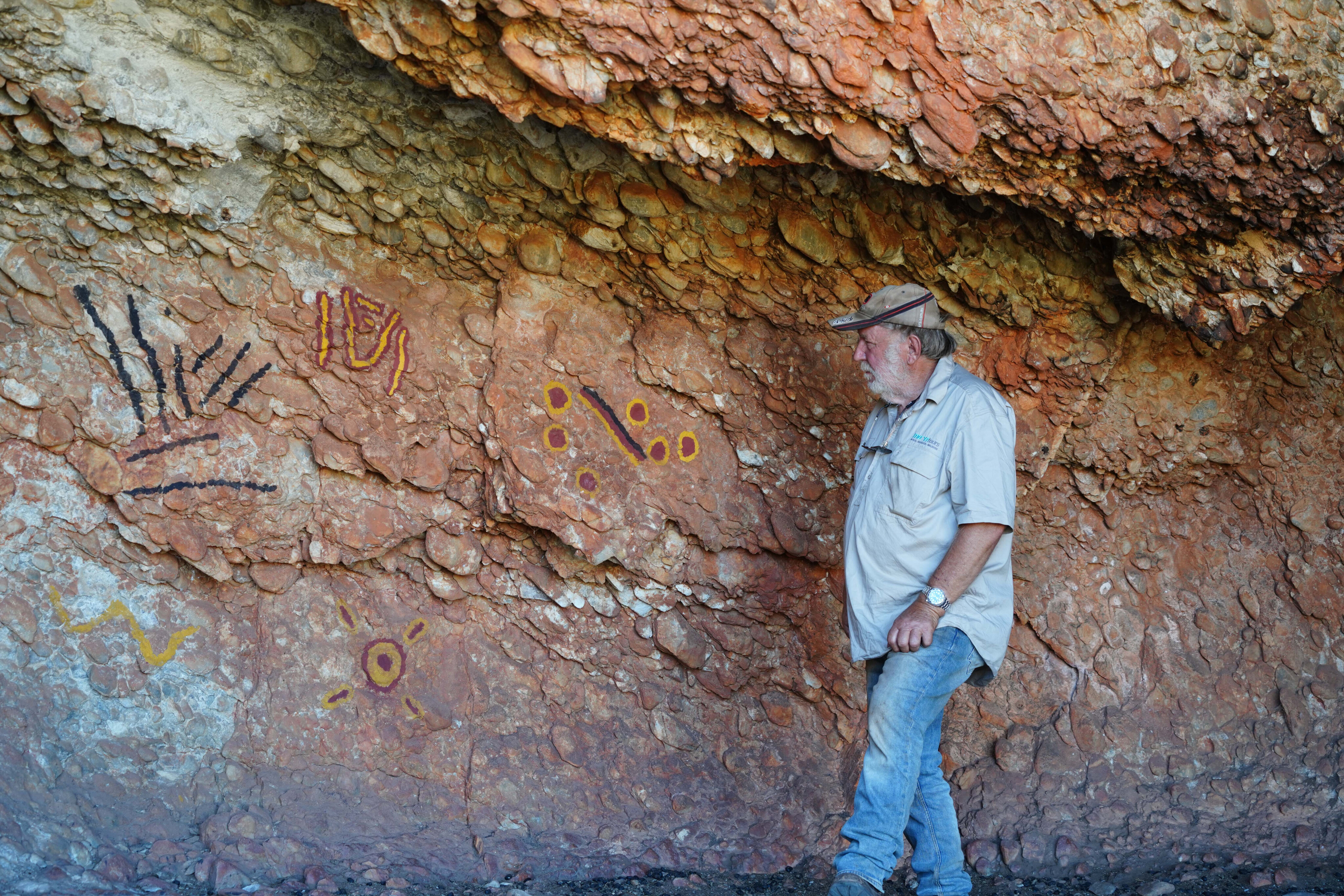
For those who want to see some other signs of early humans, this time in the form of paintings, you need to backtrack to the junction just short of the carparks and head north to the range and a very obvious cave mouth.
Don’t try and drive up to the mouth of the cave, but rather stop at the small parking bay and walk the couple of hundred metres to the cave itself; inside you’ll find some Aboriginal art, seemingly having been touched up rather recently, a procedure that was often followed to keep the art fresh and the spirit world working in your favour.
49
The view from the cave mouth is also quite expansive and spectacular.
After enjoying the gorge and the reinvigorating water (yes, it was cold) we headed back to our camp for a few beers followed by a meal and a yarn around the campfire.
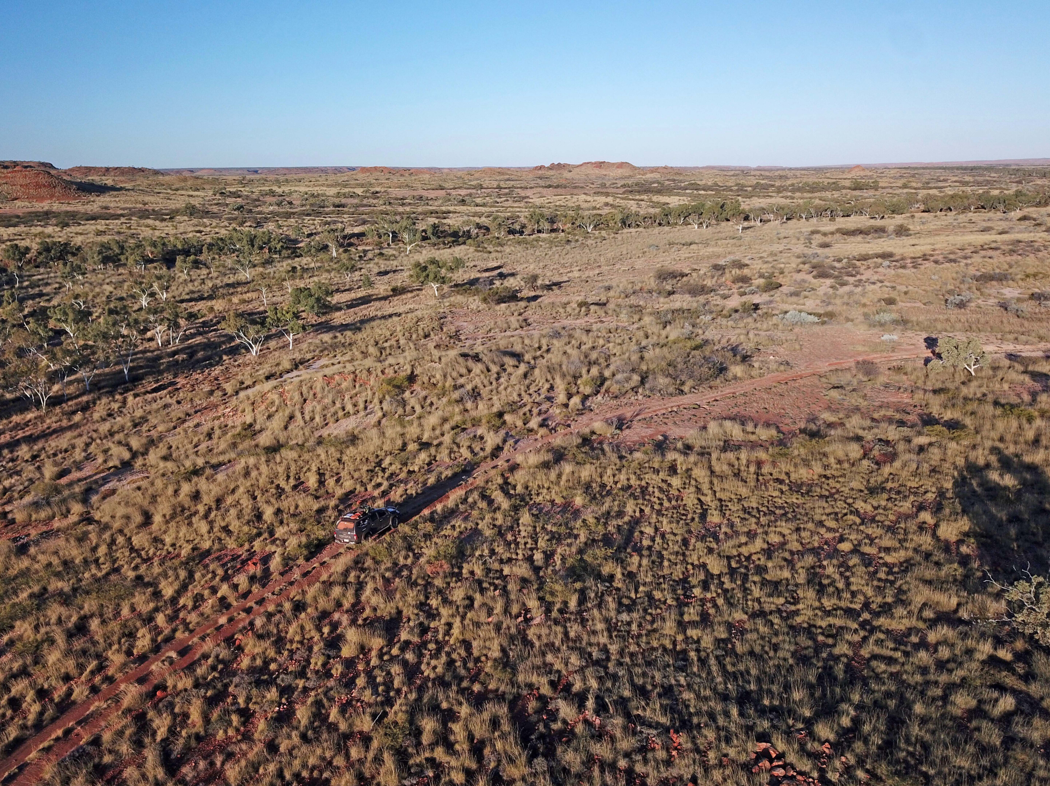
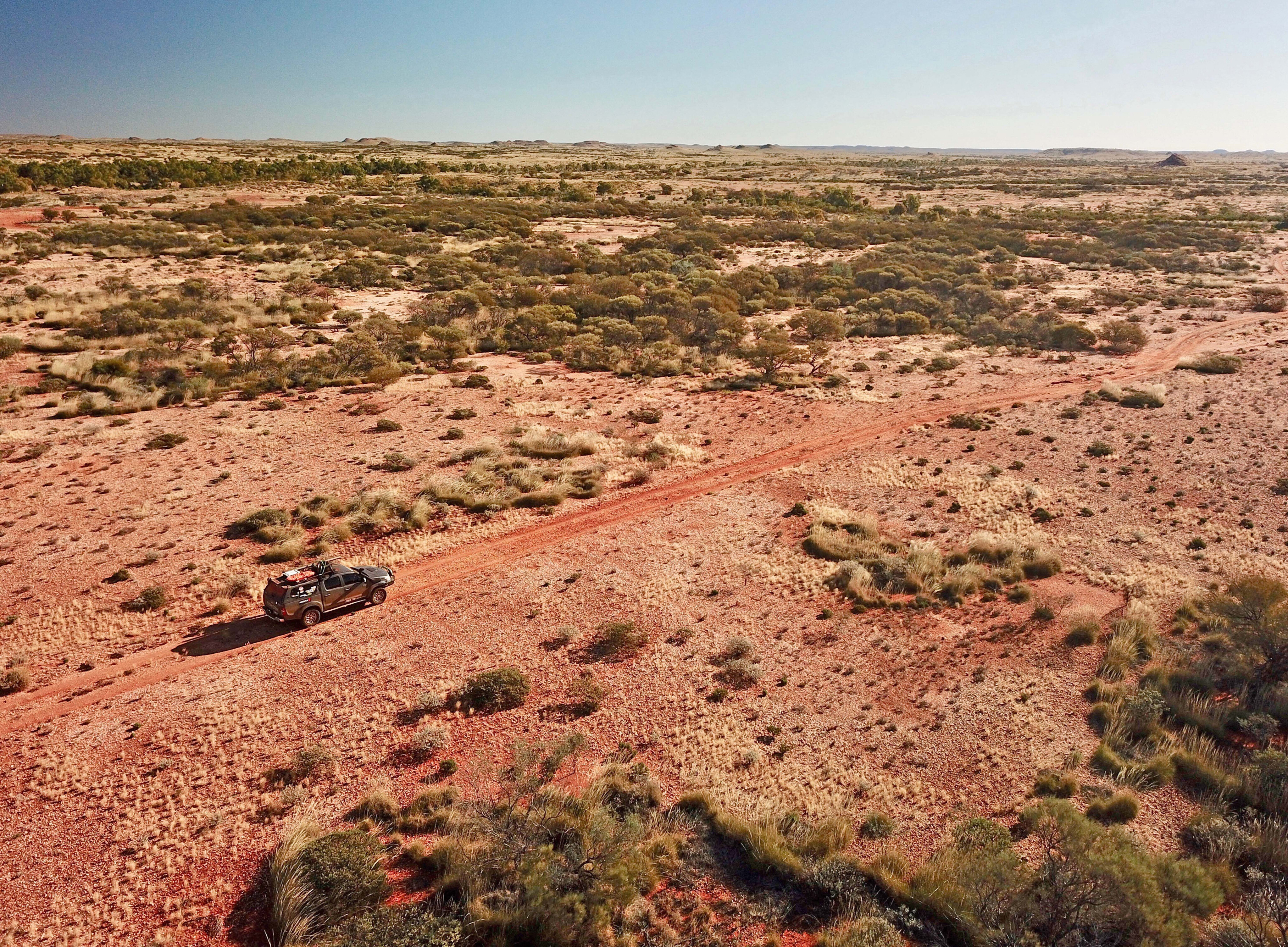
The next day we continued northwards out of the park , following some sandy creek beds, but more often than not on top of rocky gibber-strewn undulating hills. In 2022 we headed to the mining centre of Telfer, while last year we veered west and passed the Nifty Copper Mine to meet the blacktop at the mine haul road of Woodie Woodie, our adventure over for another year.
Contacts
Karlamilyi NP: parks.dpaw.wa.gov.au/park/karlamilyi [↗️]
Punmu community: (08) 9176 9110
Parnngurr (Cotton Creek) community: (08) 9176 9009
Marble Bar Museum & Visitor centre: 0484 857576
Newman Visitor Centre: (08) 9175 2888
Access and facilities
Karlamilyi National Park is accessible by four-wheel drive over rough and unmaintained roads. Access from Newman is via Walgun and Billinnooka along the Talawana Track to the park turnoff (approximately 300km). Access from Marble Bar is along Ripon Hills Road and Telfer Road to the northern park boundary.
There are no facilities in the park. Visitors need to be self-sufficient.
No dogs (or other pets) are allowed in this park.
Entry to Karlamilyi National Park is free.
Fuel and other supplies are available at Newman and Marble Bar. The Punmu and Parnngurr communities have limited fuel and other supplies.
Please enable JavaScript to view the comments powered by Disqus.
COMMENTS