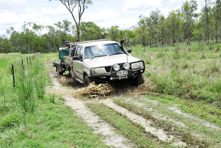
During my many Cape York fishing and hunting escapes, I have often driven the alternate routes from the Peninsula Development Road (PDR) that junctions with the Burke Developmental Road (BDR) which runs from Mareeba to the Dunbar Station junction on the Normanton Road in the northern Gulf country. Two routes, the Artemis and Fairview roads, divert directly from the PDR to the BDR after crossing the mighty Mitchell River that closely parallels the BDR.
Another route swings off the PDR at Laura to Palmerville Station, and the Maytown ruins. Farther south from the station are the ruins of Groganville and its cemetery. The track is rough and runs on private lands, thus permission from stations is required. There are active gold-mining operations about Groganville. The track that runs from Groganville to the BDR, via Bellevue Station, is privately owned and permission is rarely given.
The easiest route from Palmerville Station south is via Mount Musgrave Station to the BDR, via the Gamboola Station Crossing. As elsewhere, these remote area roads and tracks have numerous gates. Leave them as you find them. If they are open, don’t stop; if closed, open and shut it behind you. Don’t shoot unless you have permission to do so. Remember, scrub bulls belong to people and are worth a lot of money. They are not feral, so leave them be. Above all, be careful with campfires, as this country is tinder-dry when roads and tracks open.
MOUNT CARBINE TO DIMBULAH
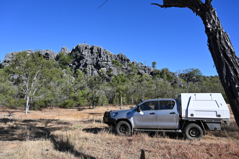
For something different, turn west from the Mulligan Highway 25km north of Mount Carbine, on to the Mount Carbine-Groganville track. It provides an amazing journey of discovery into yesteryear when gold was king. About 9km from the highway take the Dimbulah Road, cross the Old Cooktown Crossing on the Mitchell River and head south past Kondaparinga Station to Dimbulah. There is a free campground with no facilities on the south bank of the river on the crossing.
Imposing views of Mount Mulligan are beyond the crossing, and the mountain has rich coal seams under it. Now abandoned, the coal mine is best remembered when it blew up on the morning of September 19, 1921, instantly making every woman in town a widow and every child an orphan. It remains the state’s worst mining disaster and the third worst in Australia, when 76 miners were killed by a coal-dust blast.
Past the old cemetery, under the lee of the imposing bulwarks of Mount Mulligan, are the ruins of once-rich gold mines – Thornborough, Kingsborough, Tyrconnell, General Grant and others – all once thriving communities where now only silent headstones remain of their past glories when gold was king.
At Dimbulah you have a choice of heading west to Mount Mulgrave Station via Chillagoe, and turning north to Palmerville Station at the Mount Mulgrave crossing. Chillagoe had all amenities, cave tours and amazing limestone ranges and towers. It’s also the last fuel stop.
GROGANVILLE TO PALMERVILLE
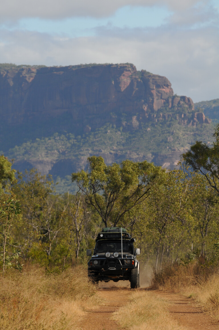
If you decided to miss the Dimbulah-Mount Mulligan turn-off and continue to Groganville, consider camping on Karma Waters Station en route. The station has nice campsites on the perennial Mitchell River. These back roads and side-tracks provide access across the steep hills of the Great Dividing Range before they spill on to the savannah lowlands of the southern Cape York Peninsula. To the east beyond the Mulligan Highway, is the backdrop to the rainforest-clad Main Coast Range of the Daintree and Wet Tropics World Heritage Area.
Little remains of Groganville, once located on the banks of a steep gully in a narrow gorge. Locals must have suffered from heat exhaustion in summer, and children and babies died in numbers if the headstones on the cemetery are an indication.
The mine is reached via a deep cutting past the ruins. A steam engine and rusted machinery and bough sheds remain. From here you have a choice of heading directly north to Palmerville Station on a track that may be impassable after the wet season. The previous owners are doing time for the murder of a prospector on the station, which now has new owners. They are much more hospitable and have campsites set aside for visitors and prospectors for a small fee.
You can also reach the Palmer Goldfield Resources Reserve by turning off the Mulligan Highway at Maitland Station, 17km south of the Palmer River Roadhouse. Note there are some confusing names – Mount Mulligan, Mulligan Highway, Musgrave Roadhouse and Mount Mulgrave Station.
WESTERN ROUTES
Some 24km south of the Musgrave Roadhouse is Artemis Station. It is a noted birdwatcher’s destination, being one of the few places on the Cape where people go to see the endangered golden-shouldered parrot in its natural habitat, one that it shares with many other species.
The station has campsites for dedicated twitchers and others. Its 95km from the PDR at the Artemis Station turn-off to the Alice River Goldfields junction and another 65km where it meets the junction of Fairview Station, which is on the PDR. You have the choice on this road of heading to Fairview, or turning south to Palmerville Station and beyond, via Fairlight Station.
This is a nice, easy day trip with a few stops at stream crossings and the rocky outcrops and hills. There is much wildlife – birds, kangaroos and antilopine wallaroos. At Palmerville you can head back on to the PDR or continue directly south via Mount Mulgrave Station, to the BDR.
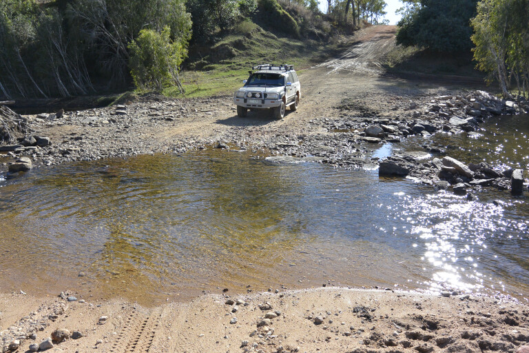
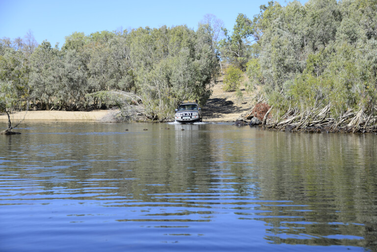
Another nice drive to the BDR is about 19km past the Killarney Station turnoff on the Artemis-Fairview road. It’s an interesting drive that crosses the Palmer River at King Junction Station and the mighty Mitchell River near Gamboola Station on the BDR. Several stations lay along this route and permission to camp away from the road is required.
Another great trip from the PDR to the BDR is to continue past the Alice River Goldfields junction to Indigenous-owned Oriners Station, the Alice River, and beyond to the crossing of the Mitchell River, 19km past Koolatha Station where it runs parallel to the BDR.
If you don’t wish to cross the river, there is another parallel 110km-long road that runs east from Koolatha via Drumduff Station, to the Gamboola Station crossing. It’s generally the preferred route for locals as the BDR is noted for its treacherously deep bulldust late in the dry season.
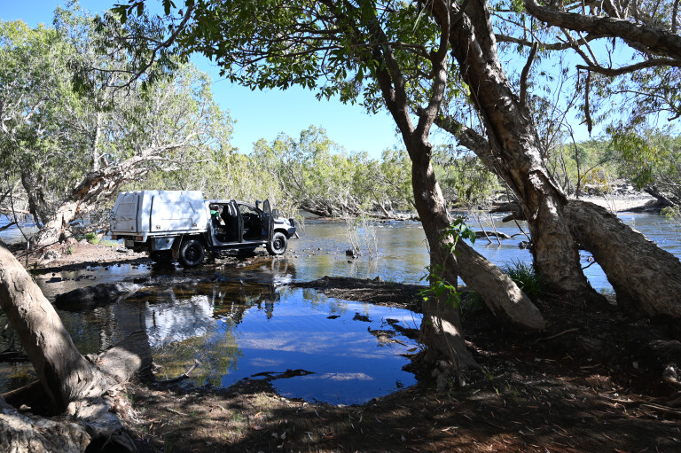
LANDSCAPES
None of these roads are sealed and some are not maintained by the Cook and Mareeba Shire Councils. Visit their websites for updated information when travelling in this remote region. The roads are generally in fair condition by mid-year, but if you hit the Oriners Station road too early in the dry season, it’s generally impossible to traverse due to inundated low country that can take weeks to dry out after the wet is over.
Another hazard is that stream crossings may also be washed out or still too deep. I have seen the Gamboola Station causeway completely wash out after the mighty Mitchell, one of our largest rivers in volume of water, came down. Other river crossings can be piled high with sand dunes that must be cleared before vehicle crossings are possible.
The low country beyond the western Great Dividing Range hereabouts is largely dominated by monsoon woodlands, with open plains, studded by termite cities, occurring on other areas. A few sandstone outliers are on the King Junction Station track and near Mount Mulgrave Station. Station owners and managers vary in their attitude towards travellers with some giving permission to camp and fish, even hunt pigs, while others will tell you to “piss off, mate”.
However, there are several national parks and reserves on these routes, including the new Alwal National Park, west from Artemis Station. At time of writing, management plans with the traditional owners have not been finalised, thus access may be restricted.
The Palmer Goldfield Resources Reserve has a no-frills campsite on the southern bank of the North Palmer River, while lovers of early mining history can indulge in the ruins of yesteryear that is Maytown, the Chinese workings, cemeteries, and the rusted relics and ruins of former settlements that are scattered about the field.
The Errk Oykangand (Mitchell-Alice River) National Park is northeast from Kowanyama, an Indigenous community on the lower Mitchell River. It is reached from the BDR via the Dunbar Station junction. The community welcomes fishers and campers and caters for them with four camping grounds.
A campground that accesses the park is at Shelfo Crossing on the Mitchell River. At time of writing, COVID-19 has reared its ugly head resulting in all Indigenous communities shutting their doors, but 2021 is looking better and perhaps we may be able to wander at will about the tracks less travelled. Contacts: Phone (07) 4060 5187 or email: admin@klco.or.au for camping details.
The track from Kowanyama to Pormpuraaw is still marked on maps but alas is no more as – sand dunes in the Mitchell River and with the Coleman River crossing flooded away out to the north – this track has lapsed into decline as it was too costly for the two communities to maintain it.
You need to know that the lower west coast of the Cape York Peninsula and northern Gulf country is largely composed of savannah, which during the wet season becomes an inland sea that takes weeks to drain properly before any traffic is possible on these so-called ‘roads’.
You will encounter running streams, swamps, billabongs and stream pools rich in fish and crustaceans. Take a couple of red-claw lobster/cherabin pots and live well on bush tucker. The Artemis-Dunbar Station route – and the many side-tracks that branch out from it – is a wilderness escape like nowhere else on the Cape. Remote and isolated with plenty of wildlife encounters and wide-open spaces, this savannah route is a must if you are into wilderness treks.
BE INDEPENDENT
Living in Mareeba I have travelled these routes over many years on day and longer trips. I have driven from Fairview Station to the Gamboola Crossing on the Mitchell River without encountering another vehicle. Stations are few and far between (some are abandoned), and I once dropped into one to say g’day at Strathleven Station, but, unknown to me at the time, it had sold weeks before.
The new owners had not yet appointed a manager. The station had been taken over by a group of pig hunters who set up residence in the homestead. They had savage dogs who, along with their owners, appeared high on drugs and booze. They were far from friendly at being caught trespassing. I turned round and drove out, the dogs chewing on my tyres. I reported the matter to a neighbouring station who were keeping an eye on the place. They had no idea that the pig doggers were there …
You need to be independent because there are is no fuel when you leave the PDR behind you until you reach either Kowyanma, Chillagoe or farther west, Karumba or Normanton. All Indigenous communities are alcohol free and if you have a bottle of happy spirits or beer on board it may cost you if stopped and searched. The police are very active in enforcing these laws. Dispose of it before entering DOGIT land areas.
A breakdown is an expensive experience, therefore ensure your vehicle is in top shape before venturing on to tracks less travelled.
Pull out the Hema Map, study and mark it when you read this, otherwise these amazing wilderness tracks won’t make much sense. You will discover there is much more to the Cape than the tip and back.

COMMENTS